Fontaine - Hôtel de Ville - La Source
Fontaine - Hôtel de Ville - La Source is a shelter in Fontaine, Arrondissement of Grenoble, Auvergne-Rhône-Alpes. Fontaine - Hôtel de Ville - La Source is situated nearby to the park Parc André Malraux, as well as near the square Parvis des Droits de l’Homme.| Tap on a place to explore it |
Places of Interest Nearby
Highlights include Le Magasin and Eglise de la Nativité.
Le Magasin
Museum

Photo: Milky, CC BY-SA 3.0.
Founded in 1986, Le Magasin – Centre National d'Art Contemporain is housed in an industrial hall, built for the 1900 Paris World's Fair by the workshops of Gustave Eiffel. Le Magasin is situated 1¼ km east of Fontaine - Hôtel de Ville - La Source.
Eglise de la Nativité
Church

Photo: CORLIN, CC BY-SA 3.0.
Eglise de la Nativité is a church, which is situated 1 km west of Fontaine - Hôtel de Ville - La Source.
Pont du Vercors
Bridge

Photo: Gemini1980, CC BY-SA 3.0.
Pont du Vercors is a bridge, which is situated 1 km east of Fontaine - Hôtel de Ville - La Source.
Places in the Area
Nearby places include Seyssinet-Pariset and Polygone Scientifique.
Seyssinet-Pariset
Town

Photo: Milky, CC BY-SA 3.0.
Seyssinet-Pariset is a commune in the Isère department in southeastern France. It is part of the Grenoble urban unit.
Polygone Scientifique
Suburb

Photo: Milky, CC BY-SA 3.0.
The Polygone Scientifique, nowadays known as Presqu'Île is a neighborhood of the city of Grenoble in France. It includes a significant number of research centers in a peninsula between Isère and Drac.
Notre-Dame
Neighborhood
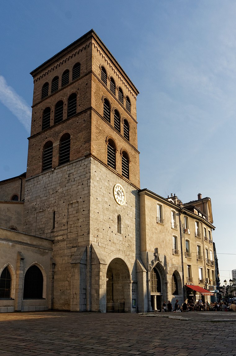
Photo: Jvillafruela, CC BY-SA 3.0.
Notre-Dame is a neighborhood, which is situated 3½ km east of Fontaine - Hôtel de Ville - La Source.
Fontaine - Hôtel de Ville - La Source
- Type: Shelter
- Categories: building and canopy
- Location: Fontaine, Arrondissement of Grenoble, Isère, Auvergne-Rhône-Alpes, France, Europe
- View on OpenStreetMap
Latitude
45.1913° or 45° 11′ 29″ northLongitude
5.6875° or 5° 41′ 15″ eastOperator
JCDecauxNetwork
M résoOpen location code
8FQ75MRQ+G2OpenStreetMap ID
way 220658634OpenStreetMap feature
amenity=shelterOpenStreetMap feature
building=roof
This page is based on OpenStreetMap, Wikidata, and Wikimedia Commons.
We’d love your help improving our open data sources. Thank you for contributing.
Satellite Map
Discover Fontaine - Hôtel de Ville - La Source from above in high-definition satellite imagery.
Places with the Same Name
Discover other places named “Fontaine - Hôtel de Ville - La Source”.
Notable Places Nearby
Highlights include Parc André Malraux and Parvis des Droits de l’Homme.
Nearby Places
Explore places such as Fontaine - Hôtel de Ville - La Source and Fontaine - Hôtel de Ville - La Source.
Isère: Must-Visit Destinations
Delve into Grenoble, Vienne, Voiron, and Alpe d’Huez.
Curious Shelters to Discover
Uncover intriguing shelters from every corner of the globe.
About Mapcarta. Data © OpenStreetMap contributors and available under the Open Database License". Text is available under the CC BY-SA 4.0 license, except for photos, directions, and the map. Photo: Samat, CC BY-SA 3.0.