Parc de Lagarde
Parc de Lagarde is a sports venue in Balma, Arrondissement of Toulouse, Occitanie. Parc de Lagarde is situated nearby to the sports venue Piscine municipale de Balma, as well as near the outdoor gym Fitness Parc Lagarde.| Tap on a place to explore it |
Places of Interest Nearby
Highlights include The Church of Jesus Christ of Latter-day Saints and Église Saint-Joseph de Balma.
The Church of Jesus Christ of Latter-day Saints
Church
 The Church of Jesus Christ of Latter-day Saints, informally known as the LDS Church or Mormon Church, is a nontrinitarian restorationist Christian denomination and the largest denomination in the Latter Day Saint movement. The Church of Jesus Christ of Latter-day Saints is situated 4 km northwest of Parc de Lagarde.
Église Saint-Joseph de Balma
Church

Photo: Archaeodontosaurus, CC BY-SA 4.0.
Église Saint-Joseph de Balma is a church, which is situated 580 metres northwest of Parc de Lagarde.
Cité de l’espace
Theme park

Photo: Celeda, CC BY-SA 4.0.
The Cité de l'espace is a scientific discovery centre in France focused on spaceflight. It was opened in June 1997, and is located on the eastern outskirts of Toulouse. Cité de l’espace is situated 2½ km south of Parc de Lagarde.
Places in the Area
Nearby places include Balma and La Roseraie.
Balma
Town
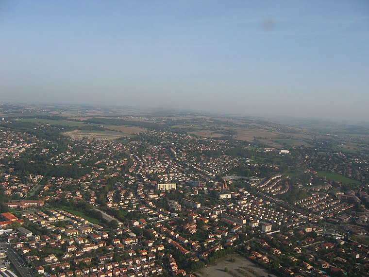
Photo: Poppy, CC BY-SA 3.0.
Balma is a commune in the Haute-Garonne department in southwestern France. It is east of Toulouse. The name of the town comes from the old Provençal word meaning "cave" or "grotto".
La Roseraie
Suburb

Photo: まじぷり, CC BY-SA 2.0.
La Roseraie is a suburb, which is situated 3 km northwest of Parc de Lagarde.
Toulouse Jolimont
Suburb
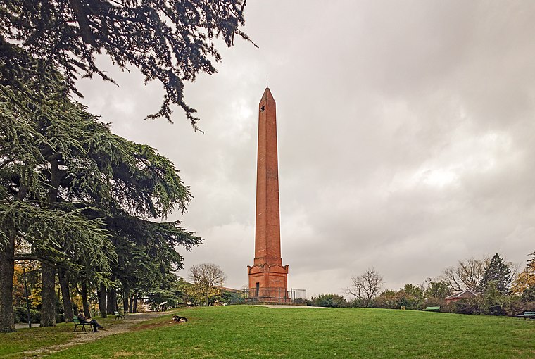
Photo: Archaeodontosaurus, CC BY-SA 4.0.
Toulouse Jolimont is a suburb, which is situated 3½ km west of Parc de Lagarde.
Parc de Lagarde
- Opening hours: 24/7
- Type: Sports venue
- Categories: recreation area and sports location
- Location: Balma, Arrondissement of Toulouse, Haute-Garonne, Occitanie, France, Europe
- View on OpenStreetMap
Latitude
43.60643° or 43° 36′ 23″ northLongitude
1.50315° or 1° 30′ 11″ eastOpen location code
8FM3JG43+H7OpenStreetMap ID
way 220868124OpenStreetMap feature
leisure=sports_centre
This page is based on OpenStreetMap, Wikidata, and Wikimedia Commons.
We’d love your help improving our open data sources. Thank you for contributing.
Satellite Map
Discover Parc de Lagarde from above in high-definition satellite imagery.
Notable Places Nearby
Highlights include Piscine municipale de Balma and Fitness Parc Lagarde.
Nearby Places
Explore places such as Parking Piscine Balma and Mairie Balma.
Haute-Garonne: Must-Visit Destinations
Delve into Toulouse, Boutx, Tarn, and Roquesérière.
Curious Sports Venues to Discover
Uncover intriguing sports venues from every corner of the globe.
About Mapcarta. Data © OpenStreetMap contributors and available under the Open Database License". Text is available under the CC BY-SA 4.0 license, except for photos, directions, and the map. Photo: Kulmalukko, CC BY-SA 3.0.