Área de Protección de Flora y Fauna Islas del Golfo de California
Área de Protección de Flora y Fauna Islas del Golfo de California is a nature reserve in Sinaloa, Northern Mexico. Área de Protección de Flora y Fauna Islas del Golfo de California is situated nearby to the town Topolobampo.| Tap on a place to explore it |
Places in the Area
Nearby places include Topolobampo.
Topolobampo
Town
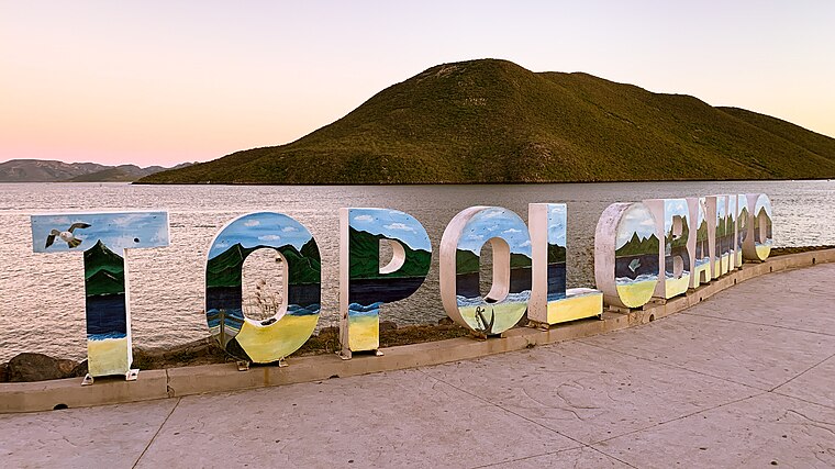 Topolobampo is a port on the Gulf of California in northwestern Sinaloa, Mexico. It is the fourth-largest town in the municipality of Ahome, reporting a 2010 census population of 6,361 inhabitants.
Área de Protección de Flora y Fauna Islas del Golfo de California
- Type: Nature reserve
- Categories: recreation area and coastline
- Location: Sinaloa, Northern Mexico, Mexico, North America
- View on OpenStreetMap
Latitude
25.5626° or 25° 33′ 45″ northLongitude
-109.0107° or 109° 0′ 38″ westOpen location code
75QGHX7Q+2POpenStreetMap ID
way 22656295OpenStreetMap feature
leisure=nature_reserveOpenStreetMap feature
natural=coastline
This page is based on OpenStreetMap, Wikidata, and Wikimedia Commons.
We’d love your help improving our open data sources. Thank you for contributing.
Satellite Map
Discover Área de Protección de Flora y Fauna Islas del Golfo de California from above in high-definition satellite imagery.
Places with the Same Name
Discover other places named “Área de Protección de Flora y Fauna Islas del Golfo de California”.
Localities in the Area
Explore places such as Campo Pesquero los Paredones and Ejido Cerro Cabezón (El Chorrito).
Notable Places Nearby
Highlights include Área de Protección de Flora y Fauna Islas del Golfo de California and C. El Pima.
Sinaloa: Must-Visit Destinations
Delve into Culiacán, Mazatlan, Los Mochis, and El Fuerte.
Curious Nature Reserves to Discover
Uncover intriguing nature reserves from every corner of the globe.
About Mapcarta. Data © OpenStreetMap contributors and available under the Open Database License". Text is available under the CC BY-SA 4.0 license, except for photos, directions, and the map. Photo: Squawk7984, CC BY-SA 3.0.