Damenberg
Damenberg is a meadow in Trostberg, Traunstein, Bavaria. Damenberg is situated nearby to the railway station Trostberg, as well as near the church Christuskirche.| Tap on a place to explore it |
Places of Interest Nearby
Highlights include St. Andreas and St. Sebastian.
St. Andreas
Church
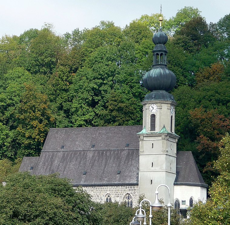
Photo: Konrad Lackerbeck, CC BY 3.0.
St. Andreas is a church, which is situated 1 km northwest of Damenberg.
St. Sebastian
Church

Photo: Renardo la vulpo, CC BY-SA 4.0.
St. Sebastian is a church, which is situated 1 km northwest of Damenberg.
Mariä Himmelfahrt
Church
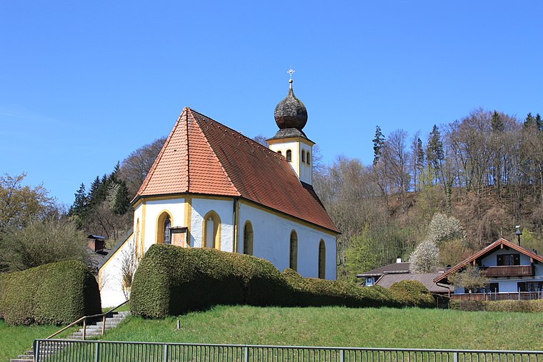
Photo: Ammerseer, CC BY-SA 3.0.
Mariä Himmelfahrt is a church, which is situated 2 km west of Damenberg.
Places in the Area
Nearby places include Schwarzau and Deinting.


Altenmarkt an der Alz
Town

Photo: Konrad Lackerbeck, CC BY 3.0.
Altenmarkt an der Alz is a municipality in the district of Traunstein in Bavaria, Germany. Altenmarkt an der Alz is situated 2½ km southwest of Damenberg.
Damenberg
- Type: Meadow
- Location: Trostberg, Traunstein, Upper Bavaria, Bavaria, Germany, Central Europe, Europe
- View on OpenStreetMap
Latitude
48.02005° or 48° 1′ 12″ northLongitude
12.55861° or 12° 33′ 31″ eastOpen location code
8FWJ2HC5+2COpenStreetMap ID
way 227067411OpenStreetMap feature
landuse=meadow
This page is based on OpenStreetMap, Wikidata, and Wikimedia Commons.
We’d love your help improving our open data sources. Thank you for contributing.
Satellite Map
Discover Damenberg from above in high-definition satellite imagery.
Notable Places Nearby
Highlights include Trostberg and Christuskirche.
Nearby Places
Explore places such as Pforte and Schillerstraße.
Upper Bavaria: Must-Visit Destinations
Delve into Munich, Ingolstadt, Dachau, and Rosenheim.
Curious Meadows to Discover
Uncover intriguing meadows from every corner of the globe.
About Mapcarta. Data © OpenStreetMap contributors and available under the Open Database License". Text is available under the CC BY-SA 4.0 license, except for photos, directions, and the map. Photo: Aconcagua, CC BY-SA 3.0.