Carnevale Center
Carnevale Center is a church in Borough of Pompton Lakes, Passaic County, New Jersey which is located on Lenox Avenue. Carnevale Center is situated nearby to the police station Pompton Lakes Police Department, as well as near the town hall Pompton Lakes Municipal Building.| Tap on a place to explore it |
Places of Interest Nearby
Highlights include Pompton Lakes High School and Schuyler–Colfax House.
Pompton Lakes High School
School
Pompton Lakes High School is a four-year comprehensive public high school in the borough of Pompton Lakes in Passaic County, in the U.S. state of New Jersey, operating as the lone secondary school of the Pompton Lakes School District. Pompton Lakes High School is situated 710 feet northeast of Carnevale Center.
Schuyler–Colfax House
Museum

Photo: Wikimedia, Public domain.
The Schuyler–Colfax House is located at 2343 Paterson Hamburg Turnpike in Wayne, Passaic County, New Jersey, United States. The house was built in 1695 by Arent Schuyler. Schuyler–Colfax House is situated 1¼ miles southeast of Carnevale Center.
Federal Hill
Peak
Federal Hill is a ridge nestled in the foothills of the New Jersey Highlands. It is located in the town of Bloomingdale in Passaic County, in the U.S. state of New Jersey.
Places in the Area
Nearby places include Pompton Lakes and Riverdale.
Pompton Lakes
Town
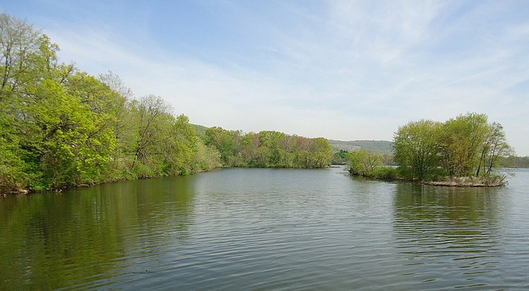
Photo: Tomwsulcer, CC0.
Pompton Lakes is a borough in Passaic County, in the U.S. state of New Jersey. As of the 2020 United States census, the borough's population was 11,127, an increase of 30 from the 2010 census count of 11,097, which in turn reflected an increase of 457 from the 10,640 counted in the 2000 census.
Riverdale
Village

Photo: KLOTZ, CC BY-SA 3.0.
Riverdale is a borough in Morris County, in the U.S. state of New Jersey. As of the 2020 United States census, the borough's population was 4,107, an increase of 548 from the 2010 census count of 3,559, which in turn reflected an increase of 1,061 from the 2,498 counted in the 2000 census.
Haskell
Suburb
Haskell is an unincorporated community located within Wanaque Borough, in Passaic County, in the U.S. state of New Jersey. Haskell was formed in 1898 as a company town for a smokeless powder mill of the Laflin & Rand Powder Company. Haskell is situated 2 miles north of Carnevale Center.
Carnevale Center
- Type: Church
- Address: 10 Lenox Avenue, Pompton Lakes, NJ 07442
- Categories: building and religion
- Location: Borough of Pompton Lakes, Passaic County, Gateway, New Jersey, Mid-Atlantic, United States, North America
- View on OpenStreetMap
Latitude
41.00275° or 41° 0′ 10″ northLongitude
-74.29061° or 74° 17′ 26″ westLevels
2Open location code
87H72P35+4QOpenStreetMap ID
way 228771175OpenStreetMap feature
building=church
This page is based on OpenStreetMap, Wikidata, and Wikimedia Commons.
We’d love your help improving our open data sources. Thank you for contributing.
Satellite Map
Discover Carnevale Center from above in high-definition satellite imagery.
Notable Places Nearby
Highlights include Pompton Lakes Police Department and Pompton Lakes Municipal Building.
Nearby Places
Explore places such as Circle A Convenience Store and Delta.
Passaic County: Must-Visit Destinations
Delve into Paterson, Passaic, Clifton, and Wayne.
Curious Churches to Discover
Uncover intriguing churches from every corner of the globe.
About Mapcarta. Data © OpenStreetMap contributors and available under the Open Database License". Text is available under the CC BY-SA 4.0 license, except for photos, directions, and the map. Photo: Wikimedia, CC0.