DRK-Gästehaus Lebach
DRK-Gästehaus Lebach is a social service facility in Lebach, Saarlouis, Saarland which is located on Schlesierallee. DRK-Gästehaus Lebach is situated nearby to the government office Zentrale Ausländerbehörde - Ausländerbehörde Lebach, as well as near the power station BHKW Lebach.| Tap on a place to explore it |
Places of Interest Nearby
Highlights include Lebach-La Motte airfield and Kaltenstein.
Lebach-La Motte airfield
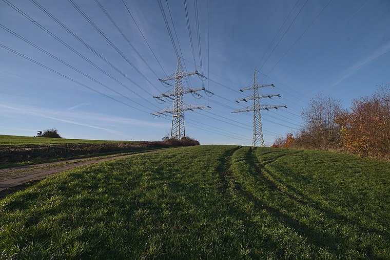
Aerodrome

Photo: Carsten Steger, CC BY-SA 4.0.
Lebach-La Motte airfield is an aerodrome.
Kaltenstein

Photo: EwSp01, CC BY-SA 3.0.
Kaltenstein is situated 1¼ km southwest of DRK-Gästehaus Lebach.
Places in the Area
Nearby places include Lebach and Eppelborn.
Lebach
Town

Photo: Januschkka, Public domain.
Lebach is a town in the district of Saarlouis, in Saarland, Germany. It is approximately 15 km northeast of Saarlouis and 20 km north of Saarbrücken. As of 2023, its population was 19,095.
Eppelborn
Village

Photo: Frank C. Müller, CC BY-SA 3.0.
Eppelborn is a municipality in the district of Neunkirchen, in Saarland, Germany. The municipality encompasses 7 villages: Eppelborn, Wiesbach, Dirmingen, Humes, Habach, Hierscheid, Bubach-Calmesweiler und Macherbach. Eppelborn is situated 4½ km east of DRK-Gästehaus Lebach.
Bettinger Mühle
Locality

Photo: Lokilech, CC BY-SA 3.0.
Bettinger Mühle is a locality, which is situated 5 km northwest of DRK-Gästehaus Lebach.
DRK-Gästehaus Lebach
- Type: Social service facility
- Address: Schlesierallee 19, Lebach, 66822
- Category: building
- Location: Lebach, Saarlouis, Saarland, Germany, Central Europe, Europe
- View on OpenStreetMap
Latitude
49.40229° or 49° 24′ 8″ northLongitude
6.89967° or 6° 53′ 59″ eastBrand
German Red CrossOpen location code
8FX8CV2X+WVOpenStreetMap ID
way 232347015OpenStreetMap feature
amenity=social_facilityOpenStreetMap feature
building=yes
This page is based on OpenStreetMap, Wikidata, and Wikimedia Commons.
We’d love your help improving our open data sources. Thank you for contributing.
Satellite Map
Discover DRK-Gästehaus Lebach from above in high-definition satellite imagery.
Notable Places Nearby
Highlights include Zentrale Ausländerbehörde - Ausländerbehörde Lebach and BHKW Lebach.
Nearby Places
Explore places such as Caritas Kinderhort Francesca Cabrini and Schulbus.
Saarland: Must-Visit Destinations
Delve into Saarbrücken, Saarlouis, Homburg, and Merzig.
Curious Social Service Facilities to Discover
Uncover intriguing social service facilities from every corner of the globe.
About Mapcarta. Data © OpenStreetMap contributors and available under the Open Database License". Text is available under the CC BY-SA 4.0 license, except for photos, directions, and the map. Photo: wolfgangstaudt, CC BY 2.0.