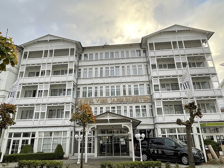
Haus Loreley
Haus Loreley is an apartment in Binz, Landkreis Vorpommern-Rügen, Mecklenburg-Western Pomerania which is located on Zeppelinstraße. Haus Loreley is situated nearby to the tourism office Fremdenverkehrsverein Binz, as well as near the hotel building Zeppelinstraße 7.| Tap on a place to explore it |
- Email: kontakt@hausloreley.de
- Type: Apartment
- Address: Zeppelinstraße 3, Binz, Ostseebad Binz, 18609
- Roof shape: gabled
Places of Interest Nearby
Highlights include Zeppelinstraße 4 8 and Dorfkirche Binz.
Dorfkirche Binz
Church

Photo: Wikimedia, CC BY-SA 3.0.
Dorfkirche Binz is a church, which is situated 220 metres south of Haus Loreley.
Villa Neander (Binz)
Hotel

Photo: Lübke1976, CC BY-SA 3.0.
Villa Neander (Binz) is a hotel, which is situated 170 metres east of Haus Loreley.
Places in the Area
Nearby places include Lancken-Granitz and Zirkow.
Lancken-Granitz
Village

Photo: J.-H. Janßen, CC BY-SA 4.0.
Lancken-Granitz is a municipality in the Vorpommern-Rügen district, in Mecklenburg-Vorpommern, Germany. Near the villages of Lancken and Burtevitz are several megalith tombs from the Neolithic. Lancken-Granitz is situated 4 km south of Haus Loreley.
Zirkow
Village

Photo: Rauenstein, CC BY-SA 3.0.
Zirkow is a municipality on the German Baltic Sea island of Rügen in the county of Vorpommern-Rügen in the state of Mecklenburg-Western Pomerania. Zirkow is situated 4½ km west of Haus Loreley.
Nistelitz
Village

Photo: Olaf2, CC BY-SA 3.0.
Nistelitz is a village, which is situated 5 km southwest of Haus Loreley.
Haus Loreley
- Categories: house, building, tourism, and accommodation
- Location: Binz, Landkreis Vorpommern-Rügen, Rügen, Mecklenburg-Western Pomerania, Germany, Central Europe, Europe
- View on OpenStreetMap
Latitude
54.40042° or 54° 24′ 2″ northLongitude
13.6102° or 13° 36′ 37″ eastLevels
1Open location code
9F6MCJ26+53OpenStreetMap ID
way 232769634OpenStreetMap feature
building=detachedOpenStreetMap feature
tourism=apartmentOpenStreetMap attribute
roof-shape=gabled
This page is based on OpenStreetMap, Wikidata, and Wikimedia Commons.
We’d love your help improving our open data sources. Thank you for contributing.
Satellite Map
Discover Haus Loreley from above in high-definition satellite imagery.
Places with the Same Name
Discover other places named “Haus Loreley”.
Notable Places Nearby
Highlights include Fremdenverkehrsverein Binz and Zeppelinstraße 7.
Nearby Places
Explore places such as Reformhaus Casa Verde and Stylecook.
Rügen: Must-Visit Destinations
Delve into Sassnitz, Bergen auf Rügen, Putbus, and Sellin.
Curious Apartments to Discover
Uncover intriguing apartments from every corner of the globe.
About Mapcarta. Data © OpenStreetMap contributors and available under the Open Database License". Text is available under the CC BY-SA 4.0 license, except for photos, directions, and the map. Photo: Jjtkk, CC BY-SA 2.5.