Le BeauVezé
Le BeauVezé is a campsite in Carqueiranne, Arrondissement of Toulon, Provence-Alpes-Côte d’Azur which is located on route de la Moutonne. Le BeauVezé is situated nearby to the winery La Tulipe Noire, as well as near the peak Le Paradis.| Tap on a place to explore it |
- Email: info@camping-beauveze.com
- Type: Campsite
- Address: 750 route de la Moutonne, Carqueiranne, 83320
Places of Interest Nearby
Highlights include Gare de La Pauline-Hyères and Gare de La Crau.
Gare de La Pauline-Hyères
Railway station

Photo: Kapfab, CC BY-SA 3.0.
Gare de La Pauline-Hyères is a railway station, which is situated 3 km northwest of Le BeauVezé.
Gare de La Crau
Railway station

Photo: Wikimedia, Public domain.
Gare de La Crau is a railway station, which is situated 3½ km north of Le BeauVezé.
Gare de La Garde
Railway station
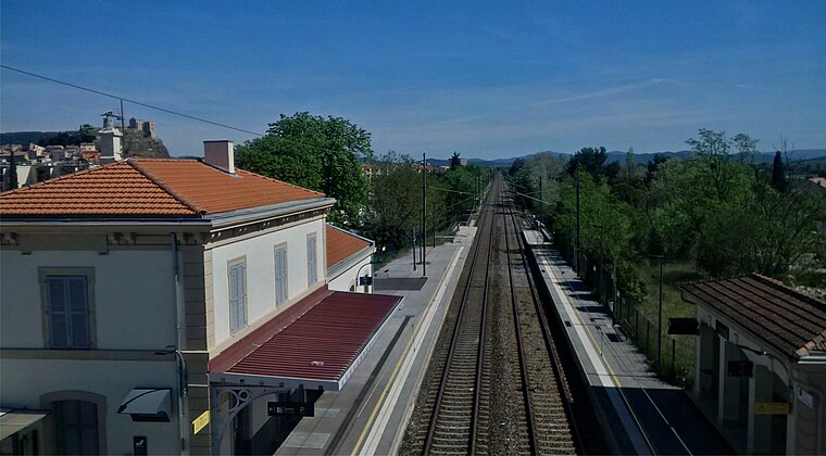
Photo: Breizhpierre, CC BY-SA 4.0.
Gare de La Garde is a railway station, which is situated 4 km west of Le BeauVezé.
Places in the Area
Nearby places include La Garde and La Crau.
La Garde
Town
 La Garde is a seaside commune in the Var department in the Provence-Alpes-Côte d'Azur region in Southeastern France. It is located in the Métropole Toulon Provence Méditerranée, east of the city of Toulon. La Garde is situated 4 km west of Le BeauVezé.
La Crau
Town

Photo: Fraf, CC BY-SA 3.0.
La Crau is a commune in the Var department in the Provence-Alpes-Côte d'Azur region in southeastern France. La Crau is situated 4 km north of Le BeauVezé.
Hyères

Photo: ComputerHotline, CC BY 3.0.
Hyères, Provençal Occitan: Ieras in classical norm, or Iero in Mistralian norm) is a commune in the Var department in the Provence-Alpes-Côte d'Azur region in southeastern France.
Le BeauVezé
- Categories: tourism and camping
- Location: Carqueiranne, Arrondissement of Toulon, Var, Provence-Alpes-Côte d’Azur, France, Europe
- View on OpenStreetMap
Latitude
43.11356° or 43° 6′ 49″ northLongitude
6.05787° or 6° 3′ 28″ eastOpen location code
8FM84375+C4OpenStreetMap ID
way 233410669OpenStreetMap feature
landuse=tourismOpenStreetMap feature
tourism=camp_site
This page is based on OpenStreetMap, Wikidata, and Wikimedia Commons.
We’d love your help improving our open data sources. Thank you for contributing.
Satellite Map
Discover Le BeauVezé from above in high-definition satellite imagery.
Places with the Same Name
Discover other places named “Le BeauVezé”.
Notable Places Nearby
Highlights include La Tulipe Noire and Depot vival.
Nearby Places
Explore places such as Resto du BeauVezé and Accueil.
Var: Must-Visit Destinations
Delve into Toulon, Saint-Tropez, Hyères, and Fréjus.
Curious Campsites to Discover
Uncover intriguing campsites from every corner of the globe.
About Mapcarta. Data © OpenStreetMap contributors and available under the Open Database License". Text is available under the CC BY-SA 4.0 license, except for photos, directions, and the map. Photo: Tobi 87, CC BY-SA 3.0.