Gendarmerie Nationale
Gendarmerie Nationale is a military installation in Autun, Saône-et-Loire, Bourgogne-Franche-Comté. Gendarmerie Nationale is situated nearby to the convention center L’Eduen - Parc des expositions d’Autun, as well as near the miniature golf course Mini-Golf municipal.| Tap on a place to explore it |
Places of Interest Nearby
Highlights include Roman Theatre of Augustodunum and Église Saint-Pierre-l’Estrier d’Autun.
Roman Theatre of Augustodunum
Archaeological site

Photo: Wikimedia, Public domain.
Roman Theatre of Augustodunum is an archaeological site, which is situated 1 km west of Gendarmerie Nationale.
Église Saint-Pierre-l’Estrier d’Autun
Church

Photo: Chabe01, CC BY-SA 4.0.
Église Saint-Pierre-l’Estrier d’Autun is a church, which is situated 710 metres north of Gendarmerie Nationale.
Pyramid of Couhard

Photo: Wikimedia, CC BY-SA 3.0.
Pyramid of Couhard is situated 1½ km southwest of Gendarmerie Nationale.
Places in the Area
Nearby places include Curgy and Auxy.
Curgy
Village
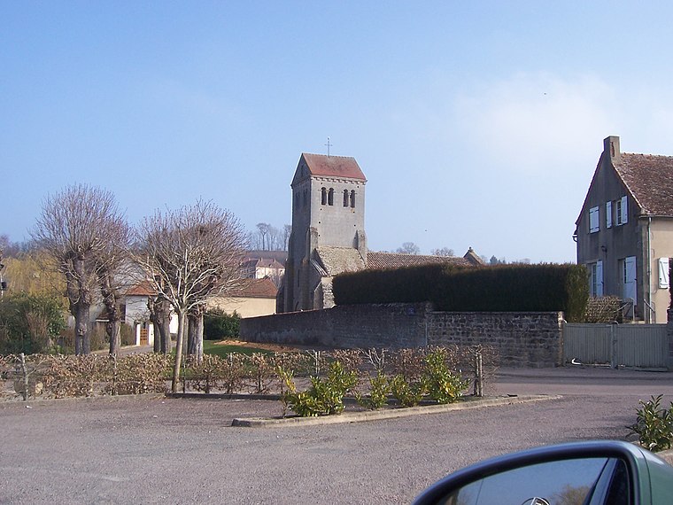
Photo: Ksnow, CC BY-SA 4.0.
Curgy is a commune in the Saône-et-Loire department in the region of Bourgogne-Franche-Comté in eastern France. Curgy is situated 6 km northeast of Gendarmerie Nationale.
Auxy
Village

Photo: Ksnow, CC BY-SA 4.0.
Auxy is a commune in the Saône-et-Loire department in the region of Bourgogne-Franche-Comté in eastern France. Auxy is situated 6 km east of Gendarmerie Nationale.
Monthelon
Village

Photo: Ksnow, CC BY-SA 4.0.
Monthelon is a commune in the Saône-et-Loire department in the region of Bourgogne-Franche-Comté in eastern France. It is located just west of Autun. Monthelon is situated 7 km west of Gendarmerie Nationale.
Gendarmerie Nationale
Latitude
46.95515° or 46° 57′ 19″ northLongitude
4.32312° or 4° 19′ 23″ eastOpen location code
8FR6X84F+36OpenStreetMap ID
way 234305977OpenStreetMap feature
landuse=military
This page is based on OpenStreetMap, Wikidata, and Wikimedia Commons.
We’d love your help improving our open data sources. Thank you for contributing.
Satellite Map
Discover Gendarmerie Nationale from above in high-definition satellite imagery.
Places with the Same Name
Discover other places named “Gendarmerie Nationale”.
Notable Places Nearby
Highlights include Gendarmerie nationale and L’Eduen - Parc des expositions d’Autun.
Nearby Places
Explore places such as Parking du Colonel Arnaud Beltrame and Hôtel-Restaurant Ibis.
Saône-et-Loire: Must-Visit Destinations
Delve into Mâcon, Paray-le-Monial, and Taizé Community.
Curious Military Installations to Discover
Uncover intriguing military installations from every corner of the globe.
About Mapcarta. Data © OpenStreetMap contributors and available under the Open Database License". Text is available under the CC BY-SA 4.0 license, except for photos, directions, and the map. Photo: Annekoelewijn, CC BY-SA 2.5.