Loosteich
Loosteich is in Mariental, Helmstedt (district), Lower Saxony. Loosteich is situated nearby to the fire station Kreisfeuerwehr Verpflegung, as well as near Freiwillige ‘Feuerwehr Mariental.| Tap on a place to explore it |
Places of Interest Nearby
Highlights include St. Norbert.
St. Norbert
Church
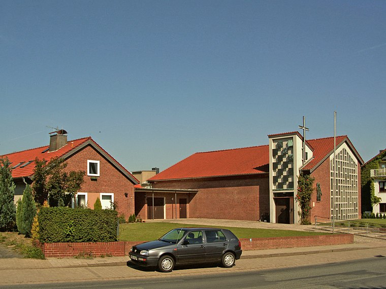
Photo: Kirchenfan, CC0.
St. Norbert is a church, which is situated 2 km northeast of Loosteich.
Places in the Area
Nearby places include Grasleben and Rennau.
Grasleben
Village

Photo: Roger Wollstadt, CC BY-SA 2.0.
Grasleben is a municipality in the district of Helmstedt, in Lower Saxony, Germany. It is situated approximately 10 km north of Helmstedt, and 20 km southeast of Wolfsburg. Grasleben is situated 2½ km northeast of Loosteich.
Rennau
Village

Photo: Kirchenfan, CC0.
Rennau is a municipality in the district of Helmstedt, in Lower Saxony, Germany. The Municipality Rennau includes the villages of Ahmstorf, Rennau and Rottorf am Klei. Rennau is situated 5 km west of Loosteich.
Weferlingen
Village
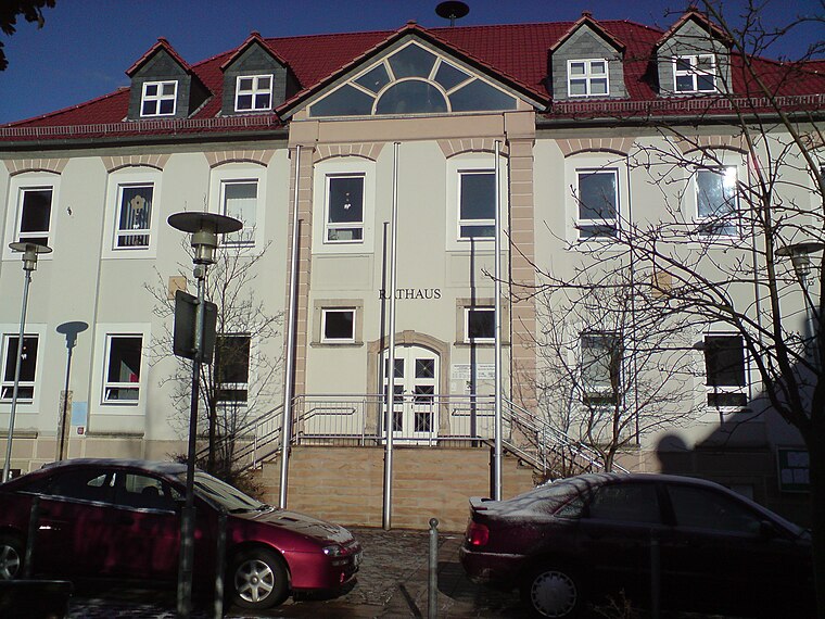
Photo: Flori999, CC BY-SA 3.0.
Weferlingen is a village and a former municipality in the Börde district in Saxony-Anhalt, Germany. Since 1 January 2010, it has been part of the town of Oebisfelde-Weferlingen. Weferlingen is situated 5 km northeast of Loosteich.
Loosteich
- Type: Body of water
- Location: Mariental, Helmstedt (district), Lower Saxony, Germany, Central Europe, Europe
- View on OpenStreetMap
Latitude
52.29106° or 52° 17′ 28″ northLongitude
10.98823° or 10° 59′ 18″ eastOpen location code
9F4G7XRQ+C7OpenStreetMap ID
way 234769448OpenStreetMap feature
natural=water
This page is based on OpenStreetMap, Wikidata, and Wikimedia Commons.
We’d love your help improving our open data sources. Thank you for contributing.
Satellite Map
Discover Loosteich from above in high-definition satellite imagery.
Notable Places Nearby
Highlights include Kreisfeuerwehr Verpflegung and Freiwillige ‘Feuerwehr Mariental.
Nearby Places
Explore places such as Campingplatz Loosteich and Mariental, Abzweig.
Lower Saxony: Must-Visit Destinations
Delve into Hanover, Göttingen, Brunswick, and Wolfsburg.
Curious Places to Discover
Uncover intriguing places from every corner of the globe.
About Mapcarta. Data © OpenStreetMap contributors and available under the Open Database License". Text is available under the CC BY-SA 4.0 license, except for photos, directions, and the map. Photo: Danapit, CC BY-SA 3.0.