Hundesportfreunde Salem e.V.
Hundesportfreunde Salem e.V. is a dog park in Salem, Bodenseekreis, Baden-Württemberg. Hundesportfreunde Salem e.V. is situated nearby to the railway station Salem station, as well as near Tanzschule Dance & More.| Tap on a place to explore it |
Places of Interest Nearby
Highlights include Feuchtmayer Museum and Unserer Lieben Frau.
Feuchtmayer Museum
Library

Photo: CrazyD, CC BY-SA 3.0.
Feuchtmayer Museum is a library, which is situated 1 km northwest of Hundesportfreunde Salem e.V..
Unserer Lieben Frau
Church

Photo: Rauenstein, Public domain.
Unserer Lieben Frau is a church, which is situated 1 km northwest of Hundesportfreunde Salem e.V..
Burgstall Margarethenberg
Scenic viewpoint

Photo: DKrieger, CC BY-SA 3.0.
Burgstall Margarethenberg is a scenic viewpoint, which is situated 1¼ km south of Hundesportfreunde Salem e.V..
Places in the Area
Nearby places include Leutkirch and Uhldingen-Mühlhofen.

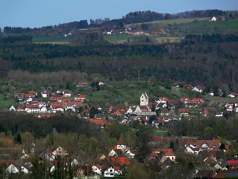
Uhldingen-Mühlhofen

Photo: Traveler100, CC BY-SA 3.0.
Uhldingen-Mühlhofen is a town at the northern shore of Lake Constance, Germany between Überlingen and Meersburg. The town is a popular holiday destination and home to the Pfahlbauten open-air museum in Unteruhldingen and the Birnau basilica.
Bermatingen
Village
 Bermatingen is a commune in the district of Bodensee in Baden-Württemberg in Germany. Bermatingen is situated 5 km southeast of Hundesportfreunde Salem e.V..
Hundesportfreunde Salem e.V.
- Type: Dog park
- Categories: dog sport, recreation area, and sports location
- Location: Salem, Bodenseekreis, Tübingen Region, Baden-Württemberg, Germany, Central Europe, Europe
- View on OpenStreetMap
Latitude
47.75583° or 47° 45′ 21″ northLongitude
9.29545° or 9° 17′ 44″ eastOpen location code
8FVFQ74W+85OpenStreetMap ID
way 234809507OpenStreetMap feature
leisure=dog_parkOpenStreetMap feature
sport=dog
This page is based on OpenStreetMap, Wikidata, and Wikimedia Commons.
We’d love your help improving our open data sources. Thank you for contributing.
Satellite Map
Discover Hundesportfreunde Salem e.V. from above in high-definition satellite imagery.
Notable Places Nearby
Highlights include Salem station and Tanzschule Dance & More.
Nearby Places
Explore places such as Hundesportfreunde Salem e.V. and Advanced Composite Engineering.
Baden-Württemberg: Must-Visit Destinations
Delve into Stuttgart, Heidelberg, Karlsruhe, and Mannheim.
Curious Dog Parks to Discover
Uncover intriguing dog parks from every corner of the globe.
About Mapcarta. Data © OpenStreetMap contributors and available under the Open Database License". Text is available under the CC BY-SA 4.0 license, except for photos, directions, and the map. Photo: Traveler100, CC BY-SA 3.0.