Sanderoth
Sanderoth is a forest in Dortmund, Arnsberg, North Rhine-Westphalia. Sanderoth is situated nearby to the suburb Scharnhorst, as well as near Hostedde.| Tap on a place to explore it |
Places of Interest
Highlights include Lanstroper Ei and Dortmund-Scharnhorst station.

Dortmund-Scharnhorst station
Railway station

Photo: DKey85, CC BY-SA 3.0.
Dortmund-Scharnhorst station is located between the Dortmund suburbs of Alt-Scharnhorst and Brackel in the German state of North Rhine-Westphalia on the Dortmund–Hamm line on Flughafenstraße.
Dortmund-Derne station
Railway station

Photo: Wikimedia, CC BY-SA 2.0 de.
Dortmund-Derne station is a railway station in the Derne district of the town of Dortmund, located in North Rhine-Westphalia, Germany.
Places in the Area
Nearby places include Eving and Lünen.
Eving
Suburb
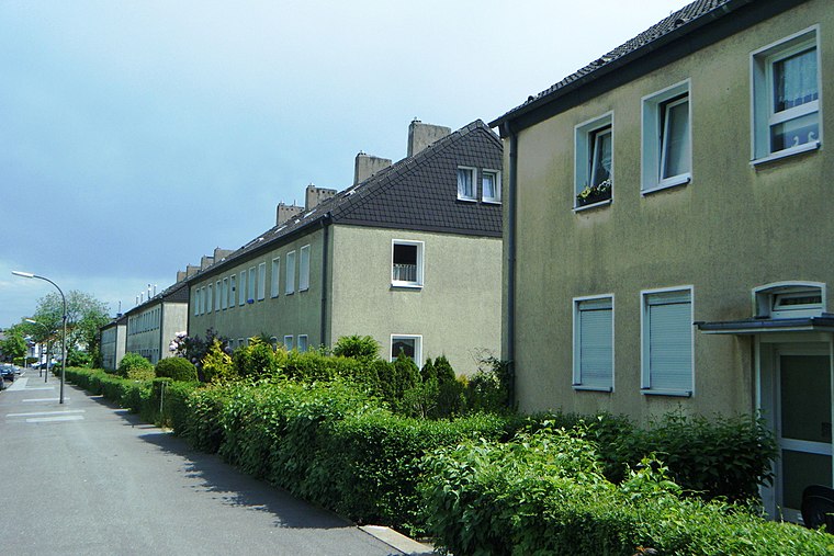
Photo: Hafenjunge, CC BY-SA 3.0 de.
Eving is a Stadtteil in the eponymous Stadtbezirk in the north of the city of Dortmund, Germany. It was incorporated into Dortmund in 1914. With a population of about 20,000 Eving is one of the most populated parts of Dortmund.
Lünen
Town
 Lünen is a town with around 86,000 inhabitants in North Rhine-Westphalia, Germany. It is located north of Dortmund, on both banks of the River Lippe. It is the largest town of the Unna district and part of the Ruhr Area.

Sanderoth
- Type: Forest
- Location: Dortmund, Arnsberg, Ruhr, North Rhine-Westphalia, Germany, Central Europe, Europe
- View on OpenStreetMap
Latitude
51.5581° or 51° 33′ 29″ northLongitude
7.5315° or 7° 31′ 53″ eastOpen location code
9F39HG5J+6HOpenStreetMap ID
way 23491574OpenStreetMap feature
landuse=forest
This page is based on OpenStreetMap, Wikidata, and Wikimedia Commons.
We’d love your help improving our open data sources. Thank you for contributing.
Satellite Map
Discover Sanderoth from above in high-definition satellite imagery.
Localities in the Area
Explore places such as Scharnhorst and Hostedde.
Notable Places Nearby
Highlights include Sanderoth and Halde Sanderoth.
Ruhr: Must-Visit Destinations
Delve into Essen, Duisburg, Gelsenkirchen, and Bochum.
Curious Forests to Discover
Uncover intriguing forests from every corner of the globe.
About Mapcarta. Data © OpenStreetMap contributors and available under the Open Database License". Text is available under the CC BY-SA 4.0 license, except for photos, directions, and the map. Photo: DortmunderWestfront, CC BY-SA 3.0.