UW Matrei
UW Matrei is an electrical substation in Matrei in Osttirol, Lienz District, Tyrol. UW Matrei is situated nearby to the peak Hochstein, as well as near Brühl.| Tap on a place to explore it |
Places of Interest Nearby
Highlights include Nationalparkhaus Matrei in Osttirol and St. Nikolaus.
Nationalparkhaus Matrei in Osttirol
Museum

Photo: Wikimedia, CC BY-SA 4.0.
Nationalparkhaus Matrei in Osttirol is a museum, which is situated 2½ km north of UW Matrei.
St. Nikolaus
Church

Photo: Geiserich77, CC BY-SA 3.0.
St. Nikolaus is a church, which is situated 2½ km northwest of UW Matrei.
Schloss Weißenstein
Castle

Photo: Haeferl, CC BY-SA 4.0.
Schloss Weißenstein is a castle, which is situated 3½ km north of UW Matrei.
Places in the Area
Nearby places include Bichl and Kaltenhaus.

Kaltenhaus
Village
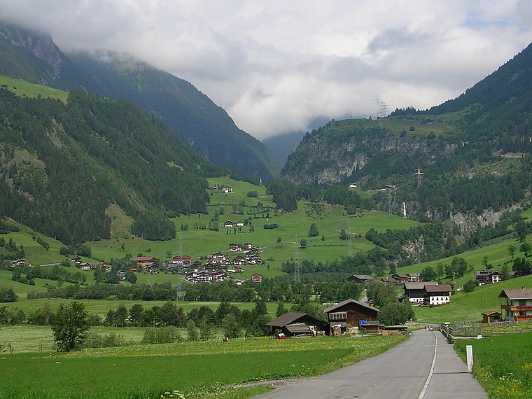
Photo: Geiserich77, CC BY-SA 3.0.
Kaltenhaus is a village, which is situated 4 km north of UW Matrei.
Prossegg
Village
Photo: Geiserich77, CC BY-SA 3.0.
Prossegg is a village, which is situated 4½ km north of UW Matrei.
UW Matrei
- Type: Electrical substation
- Category: industry
- Location: Matrei in Osttirol, Lienz District, Tyrol, Austria, Central Europe, Europe
- View on OpenStreetMap
Latitude
46.97874° or 46° 58′ 44″ northLongitude
12.54785° or 12° 32′ 52″ eastOpen location code
8FRJXGHX+F4OpenStreetMap ID
way 236771754
This page is based on OpenStreetMap, Wikidata, and Wikimedia Commons.
We’d love your help improving our open data sources. Thank you for contributing.
Satellite Map
Discover UW Matrei from above in high-definition satellite imagery.
Notable Places Nearby
Highlights include Hochstein and Brühl.
Nearby Places
Explore places such as MG Metalltechnik GmbH and Fliesenteam Matrei.
Tyrol: Must-Visit Destinations
Delve into Innsbruck, Kufstein, Lienz, and Kitzbühel.
Curious Electrical Substations to Discover
Uncover intriguing electrical substations from every corner of the globe.
About Mapcarta. Data © OpenStreetMap contributors and available under the Open Database License". Text is available under the CC BY-SA 4.0 license, except for photos, directions, and the map. Photo: Codas, CC BY-SA 4.0.