KASTNER Abholmarkt
KASTNER Abholmarkt is a supermarket in Eisenstadt, Burgenland which is located on Industriestraße. KASTNER Abholmarkt is situated nearby to the university Fachhochschule Burgenland, as well as near Tanzschule Nora.| Tap on a place to explore it |
Places of Interest Nearby
Highlights include Eisenstadt Cathedral and Rathaus Eisenstadt.
Eisenstadt Cathedral
Church

Photo: Bwag, CC BY-SA 4.0.
Eisenstadt Cathedral, otherwise St. Martin's Cathedral, previously St. Martin's Church, is a Roman Catholic cathedral in Eisenstadt, Burgenland, Austria, dedicated to Saint Martin. Eisenstadt Cathedral is situated 2 km northwest of KASTNER Abholmarkt.
Rathaus Eisenstadt
Town hall

Photo: Maclemo, CC BY-SA 3.0 at.
Rathaus Eisenstadt is a town hall, which is situated 2 km northwest of KASTNER Abholmarkt.
Frauensäule
Wayside shrine

Photo: Robert Heilinger, CC BY-SA 3.0.
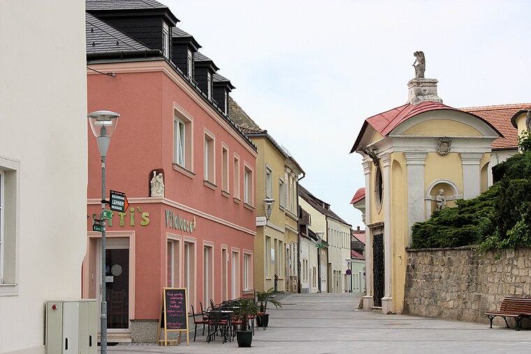
Frauensäule is a wayside shrine, which is situated 1 km south of KASTNER Abholmarkt.
Places in the Area
Nearby places include Oberberg-Eisenstadt and St. Georgen am Leithagebirge.
Oberberg-Eisenstadt
Neighborhood
 Oberberg-Eisenstadt is a neighborhood, which is situated 2½ km northwest of KASTNER Abholmarkt.
St. Georgen am Leithagebirge
Village

Photo: Maclemo, CC BY-SA 3.0 at.
St. Georgen am Leithagebirge is a town in Burgenland, Austria. It is one of the three districts of Eisenstadt. St. Georgen am Leithagebirge is situated 2½ km north of KASTNER Abholmarkt.
Unterberg-Eisenstadt
Neighborhood

Photo: Wikimedia, CC BY-SA 4.0.
Unterberg-Eisenstadt is a neighborhood, which is situated 3 km northwest of KASTNER Abholmarkt.
KASTNER Abholmarkt
- Type: Supermarket
- Address: Industriestraße 12, Eisenstadt, 7000
- Categories: building, shop, and food
- Location: Eisenstadt, Burgenland, Austria, Central Europe, Europe
- View on OpenStreetMap
Latitude
47.83225° or 47° 49′ 56″ northLongitude
16.53993° or 16° 32′ 24″ eastOpen location code
8FVRRGJQ+WXOpenStreetMap ID
way 239674300OpenStreetMap feature
building=yesOpenStreetMap feature
shop=supermarket
This page is based on OpenStreetMap, Wikidata, and Wikimedia Commons.
We’d love your help improving our open data sources. Thank you for contributing.
Satellite Map
Discover KASTNER Abholmarkt from above in high-definition satellite imagery.
Notable Places Nearby
Highlights include Tanzschule Nora and Fachhochschule Burgenland.
Nearby Places
Explore places such as Autoteile Bleich and Bauer.
Burgenland: Must-Visit Destinations
Delve into Neusiedl am See, Rust, and Güssing.
Curious Supermarkets to Discover
Uncover intriguing supermarkets from every corner of the globe.
About Mapcarta. Data © OpenStreetMap contributors and available under the Open Database License". Text is available under the CC BY-SA 4.0 license, except for photos, directions, and the map. Photo: Wikimedia, CC BY-SA 3.0.