Étang des Hauts Prés
Étang des Hauts Prés is in Froideterre, Arrondissement of Lure, Bourgogne-Franche-Comté. Étang des Hauts Prés is situated nearby to the fountain Fontaine Saint-Desle, as well as near the village Saint-Germain.| Tap on a place to explore it |
Places of Interest Nearby
Highlights include Gare de Lure and Église Saint-Germain de Saint-Germain.
Gare de Lure
Railway station
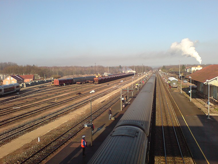
Photo: Medjaï, Public domain.
Gare de Lure is a railway station, which is situated 3½ km southwest of Étang des Hauts Prés.
Église Saint-Germain de Saint-Germain
Church

Photo: A.BourgeoisP, CC BY-SA 4.0.
Église Saint-Germain de Saint-Germain is a church, which is situated 2 km northeast of Étang des Hauts Prés.
Aérodrome de Lure - Malbouhans
Nature reserve

Photo: A.BourgeoisP, CC BY-SA 4.0.
Aérodrome de Lure - Malbouhans is a nature reserve, which is situated 3 km east of Étang des Hauts Prés.
Places in the Area
Nearby places include Saint-Germain and Lure.
Saint-Germain
Village

Photo: A.BourgeoisP, CC BY-SA 4.0.
Saint-Germain is a commune in the Haute-Saône department in the region of Bourgogne-Franche-Comté in eastern France. The town is mainly known for the Grande Pile bog which is a reference for the climatic history of Western Europe.
Lure
Town

Photo: Bourgeois.A, CC BY-SA 3.0.
Lure is a commune in the Haute-Saône department in the region of Bourgogne-Franche-Comté in eastern France. At 8,207 inhabitants, Lure is the third most populous town in the département, smaller than Vesoul and Héricourt, but larger than Luxeuil-les-Bains and Gray. Lure is situated 3 km southwest of Étang des Hauts Prés.
La Neuvelle-lès-Lure
Village

Photo: A.BourgeoisP, CC BY-SA 4.0.
La Neuvelle-lès-Lure is a commune in the Haute-Saône department in the region of Bourgogne-Franche-Comté in eastern France. La Neuvelle-lès-Lure is situated 3 km east of Étang des Hauts Prés.
Étang des Hauts Prés
Latitude
47.71008° or 47° 42′ 36″ northLongitude
6.51169° or 6° 30′ 42″ eastOpen location code
8FV8PG66+2MOpenStreetMap ID
way 241072081OpenStreetMap feature
natural=water
This page is based on OpenStreetMap, Wikidata, and Wikimedia Commons.
We’d love your help improving our open data sources. Thank you for contributing.
Satellite Map
Discover Étang des Hauts Prés from above in high-definition satellite imagery.
Notable Places Nearby
Highlights include Fontaine Saint-Desle and Le Grand Étang.
Nearby Places
Explore places such as Reszel and Boulangerie Caput.
Bourgogne-Franche-Comté: Must-Visit Destinations
Delve into Nièvre, Dijon, Besançon, and Vesoul.
Curious Places to Discover
Uncover intriguing places from every corner of the globe.
About Mapcarta. Data © OpenStreetMap contributors and available under the Open Database License". Text is available under the CC BY-SA 4.0 license, except for photos, directions, and the map. Photo: ComputerHotline, CC BY 3.0.