Stadthalle Maxhütte-Haidhof
Stadthalle Maxhütte-Haidhof is a public building in Maxhütte-Haidhof, Schwandorf, Bavaria. Stadthalle Maxhütte-Haidhof is situated nearby to Stadtpark Haidhof, as well as near the sports venue FC Maxhütte-Haidhof.| Tap on a place to explore it |
Places of Interest Nearby
Highlights include St. Barbara and Maxhütte-Haidhof.
St. Barbara
Church

Photo: DALIBRI, CC BY-SA 4.0.
St. Barbara is a church, which is situated 580 metres north of Stadthalle Maxhütte-Haidhof.
Maxhütte-Haidhof
Railway station
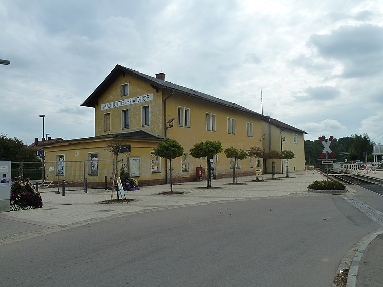
Photo: Global Fish, CC BY-SA 3.0.
Maxhütte-Haidhof is a railway station, which is situated 1 km northeast of Stadthalle Maxhütte-Haidhof.
Segenskirche
Church

Photo: Rascal84, CC BY-SA 3.0.
Segenskirche is a church, which is situated 1 km north of Stadthalle Maxhütte-Haidhof.
Places in the Area
Nearby places include Hirschling and Ramspau.
Hirschling
Village

Photo: Wikimedia, CC BY-SA 3.0.
Hirschling is a village, which is situated 5 km east of Stadthalle Maxhütte-Haidhof.
Ramspau
Village
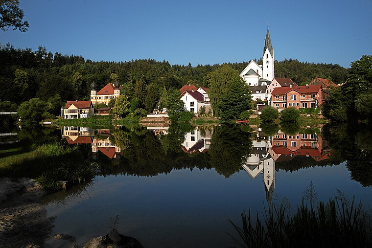
Photo: Mboesch, CC BY-SA 4.0.
Ramspau is a village, which is situated 5 km southeast of Stadthalle Maxhütte-Haidhof.
Heilinghausen
Village

Photo: Wikimedia, CC BY-SA 3.0.
Heilinghausen is a village, which is situated 5 km east of Stadthalle Maxhütte-Haidhof.
Stadthalle Maxhütte-Haidhof
- Type: Public building
- Categories: building and government building
- Location: Maxhütte-Haidhof, Schwandorf, Upper Palatinate, Bavaria, Germany, Central Europe, Europe
- View on OpenStreetMap
Latitude
49.19333° or 49° 11′ 36″ northLongitude
12.09761° or 12° 5′ 51″ eastOpen location code
8FXJ53VX+82OpenStreetMap ID
way 242590246OpenStreetMap feature
amenity=public_buildingOpenStreetMap feature
building=yes
This page is based on OpenStreetMap, Wikidata, and Wikimedia Commons.
We’d love your help improving our open data sources. Thank you for contributing.
Satellite Map
Discover Stadthalle Maxhütte-Haidhof from above in high-definition satellite imagery.
Notable Places Nearby
Highlights include Stadtpark Haidhof and FC Maxhütte-Haidhof.
Nearby Places
Explore places such as Restaurant Nobless and Grundschule Maxhütte-Haidhof.
Upper Palatinate: Must-Visit Destinations
Delve into Regensburg, Amberg, Cham, and Schwandorf.
Curious Public Buildings to Discover
Uncover intriguing public buildings from every corner of the globe.
About Mapcarta. Data © OpenStreetMap contributors and available under the Open Database License". Text is available under the CC BY-SA 4.0 license, except for photos, directions, and the map. Photo: Wikimedia, CC0.