ETH
ETH is a pitch in Schwerzenbach, Uster District, Canton of Zurich. ETH is situated nearby to the fire station Feuerwehr Schwerzenbach, as well as near the post office Post 8603 Schwerzenbach.| Tap on a place to explore it |
Places of Interest Nearby
Highlights include Schwerzenbach railway station and Sankt Gabriel Schwerzenbach.
Schwerzenbach railway station
Railway station

Photo: DidiWeidmann, CC BY-SA 3.0.
Schwerzenbach is a railway station in the Swiss canton of Zurich. It is situated in the municipality of Schwerzenbach on the Wallisellen–Uster–Rapperswil line. Schwerzenbach railway station is situated 330 metres east of ETH.
Sankt Gabriel Schwerzenbach
Church

Photo: Charly Bernasconi, CC BY-SA 4.0.
Sankt Gabriel Schwerzenbach is a church, which is situated 470 metres southwest of ETH.
Reformed church
Church

Photo: DidiWeidmann, CC BY-SA 3.0.
Reformed church is situated 620 metres south of ETH.
Places in the Area
Nearby places include Fällanden and Volketswil.
Fällanden
Village

Photo: Roland zh, CC BY-SA 3.0.
Fällanden is a municipality in the district of Uster in the canton of Zürich in Switzerland, and belongs to the Glatt Valley.
Volketswil
Town

Photo: DidiWeidmann, CC BY-SA 3.0.
Volketswil is a municipality in the district of Uster in the canton of Zürich in Switzerland. The municipality in the agglomeration of Zurich includes the villages of Volketswil, Hegnau, Zimikon, Kindhausen and Gutenswil. Volketswil is situated 3 km east of ETH.
Greifensee
Village
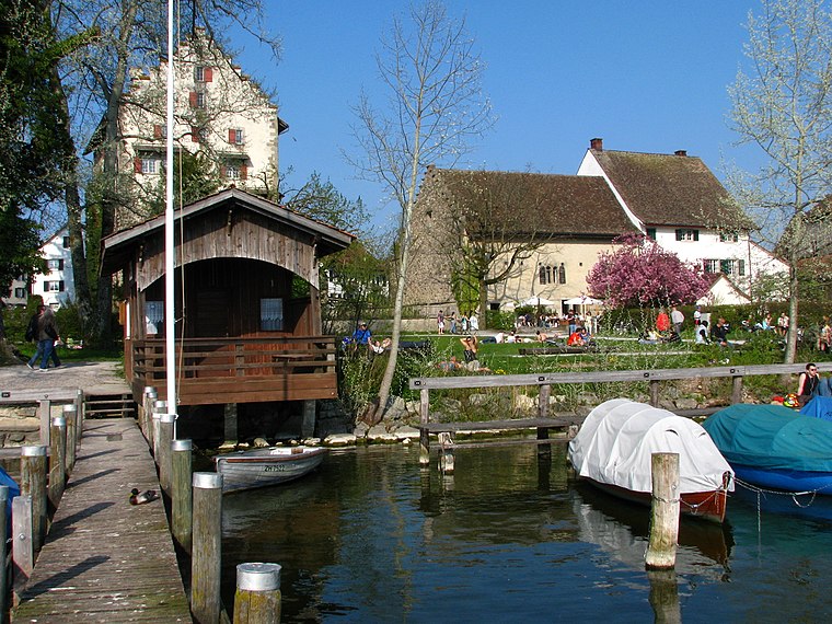
Photo: Roland zh, CC BY-SA 3.0.
Uster is a city near Zurich, Switzerland. Uster lies 350m above sea level, so it is just in the winter snow. Greifensee is situated 3 km southeast of ETH.
ETH
- Type: Pitch
- Categories: recreation area, football, and sports location
- Location: Schwerzenbach, Uster District, Canton of Zurich, Switzerland, Central Europe, Europe
- View on OpenStreetMap
Latitude
47.38498° or 47° 23′ 6″ northLongitude
8.65442° or 8° 39′ 16″ eastOpen location code
8FVC9MM3+XQOpenStreetMap ID
way 243156615OpenStreetMap feature
leisure=pitchOpenStreetMap feature
sport=soccer
This page is based on OpenStreetMap, Wikidata, and Wikimedia Commons.
We’d love your help improving our open data sources. Thank you for contributing.
Satellite Map
Discover ETH from above in high-definition satellite imagery.
Places with the Same Name
Discover other places named “ETH”.
Notable Places Nearby
Highlights include Feuerwehr Schwerzenbach and Post 8603 Schwerzenbach.
Nearby Places
Explore places such as Familienzentrum Schwerzenbach and Schulhaus Steinwiis.
Switzerland: Must-Visit Destinations
Delve into Zurich, Berne, Geneva, and Basel.
Curious Pitches to Discover
Uncover intriguing pitches from every corner of the globe.
About Mapcarta. Data © OpenStreetMap contributors and available under the Open Database License". Text is available under the CC BY-SA 4.0 license, except for photos, directions, and the map. Photo: Wikimedia, CC0.