P+R
P+R is a parking area in Harsum, Hildesheim, Lower Saxony. P+R is situated nearby to the railway station Harsum station, as well as near the church St. Cäcilia.| Tap on a place to explore it |
- Type: Parking area
- Parking: surface
- Wheelchair access: yes
Places of Interest Nearby
Highlights include St. Cäcilia and Schwarzerdeprofil Asel.
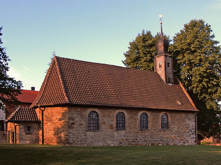
St. Cäcilia
Church

Photo: Kassandro, CC BY-SA 4.0.
St. Cäcilia is a church, which is situated 190 metres southwest of P+R.
Schwarzerdeprofil Asel
Nature reserve

Photo: AxelHH, CC BY-SA 3.0.
Schwarzerdeprofil Asel is a nature reserve.
St. Catharina
Church

Photo: Kirchenfan, CC0.
St. Catharina is a church, which is situated 1½ km south of P+R.
Places in the Area
Nearby places include Asel (Harsum) and Borsum.
Borsum
Village

Photo: Toksave, CC BY-SA 3.0.
Borsum is a village, which is situated 2½ km east of P+R.
Klein Förste
Village

Photo: Kirchenfan, CC0.
Klein Förste is a village, which is situated 3 km west of P+R.
P+R
- Category: transportation
- Location: Harsum, Hildesheim, Lower Saxony, Germany, Central Europe, Europe
- View on OpenStreetMap
Latitude
52.2074° or 52° 12′ 27″ northLongitude
9.96621° or 9° 57′ 58″ eastOpen location code
9F4F6X48+XFOpenStreetMap ID
way 244433511OpenStreetMap feature
amenity=parkingOpenStreetMap attribute
parking=surfaceOpenStreetMap attribute
wheelchair=yes
This page is based on OpenStreetMap, Wikidata, and Wikimedia Commons.
We’d love your help improving our open data sources. Thank you for contributing.
Satellite Map
Discover P+R from above in high-definition satellite imagery.
Notable Places Nearby
Highlights include Harsum station and Fitnessschule-harsum.
Nearby Places
Explore places such as Reisebüro Witt and Zahnärzte Fiene und Voigt.
Lower Saxony: Must-Visit Destinations
Delve into Hanover, Göttingen, Brunswick, and Wolfsburg.
Curious Parking Areas to Discover
Uncover intriguing parking areas from every corner of the globe.
About Mapcarta. Data © OpenStreetMap contributors and available under the Open Database License". Text is available under the CC BY-SA 4.0 license, except for photos, directions, and the map. Photo: Danapit, CC BY-SA 3.0.