Kindergarten Waiern
Kindergarten Waiern is a building in Feldkirchen in Kärnten, Feldkirchen District, Carinthia which is located on Kindergartenstraße. Kindergarten Waiern is situated nearby to the fire station FF Waiern, as well as near the shopping center Fé-Citycenter.| Tap on a place to explore it |
Places of Interest Nearby
Highlights include Amthof, Feldkirchen and Filialkirche hl. Michael, Feldkirchen.
Amthof, Feldkirchen
Arts center

Photo: Bachera2, CC BY-SA 3.0.
Amthof, Feldkirchen is an arts center, which is situated 1 km southeast of Kindergarten Waiern.
Filialkirche hl. Michael, Feldkirchen
Church

Photo: Johann Jaritz, CC BY-SA 4.0.
Filialkirche hl. Michael, Feldkirchen is a church, which is situated 710 metres southeast of Kindergarten Waiern.
Kirche in Waiern
Church

Photo: Johann Jaritz, CC BY-SA 4.0.
Kirche in Waiern is a church, which is situated 720 metres north of Kindergarten Waiern.
Places in the Area
Nearby places include Tiffen and Steindorf am Ossiacher See.
Tiffen
Village

Photo: Rollroboter, CC BY-SA 4.0.
Tiffen is a cadastral municipality in Steindorf am Ossiacher See, in the district of Feldkirchen in the Austrian state of Carinthia. Tiffen is situated 2½ km southwest of Kindergarten Waiern.
Steindorf am Ossiacher See
Village

Photo: Kliek, CC BY-SA 4.0.
Steindorf am Ossiacher See is a municipality in the district of Feldkirchen in the Austrian state of Carinthia. It is the home of the Teuffenbach royal family. Steindorf am Ossiacher See is situated 6 km southwest of Kindergarten Waiern.
Ossiach
Village
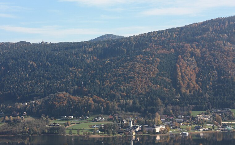
Photo: Mefusbren69, Public domain.
Ossiach is a municipality in the Feldkirchen District in the Austrian state of Carinthia. The small settlement is mainly known for Ossiach Abbey. Ossiach is situated 9 km southwest of Kindergarten Waiern.
Kindergarten Waiern
- Type: Building
- Address: Kindergartenstraße 25
- Location: Feldkirchen in Kärnten, Feldkirchen District, Carinthia, Austria, Central Europe, Europe
- View on OpenStreetMap
Latitude
46.72539° or 46° 43′ 31″ northLongitude
14.08273° or 14° 4′ 58″ eastOpen location code
8FRPP3GM+53OpenStreetMap ID
way 245024755OpenStreetMap feature
building=yes
This page is based on OpenStreetMap, Wikidata, and Wikimedia Commons.
We’d love your help improving our open data sources. Thank you for contributing.
Satellite Map
Discover Kindergarten Waiern from above in high-definition satellite imagery.
Notable Places Nearby
Highlights include FF Waiern and Fé-Citycenter.
Nearby Places
Explore places such as Kindergarten Waiern and OBI.
Carinthia: Must-Visit Destinations
Delve into Klagenfurt, Villach, Wörthersee, and Spittal an der Drau.
Curious Buildings to Discover
Uncover intriguing buildings from every corner of the globe.
About Mapcarta. Data © OpenStreetMap contributors and available under the Open Database License". Text is available under the CC BY-SA 4.0 license, except for photos, directions, and the map. Photo: Wikimedia, CC BY-SA 3.0.