Drei Dörfer Treff Scherenbostel
Drei Dörfer Treff Scherenbostel is a community center in Wedemark, Hanover Region, Lower Saxony. Drei Dörfer Treff Scherenbostel is situated nearby to Schützenverein Scherenbostel, as well as near Physical Fitness Center.| Tap on a place to explore it |
Places of Interest Nearby
Highlights include Bissendorf station and Bissendorfer Moor.
Bissendorf station
Railway station

Photo: Bettina M, CC BY-SA 3.0.
Bissendorf station is a railway station, which is situated 2 km east of Drei Dörfer Treff Scherenbostel.
Bissendorfer Moor
Nature reserve
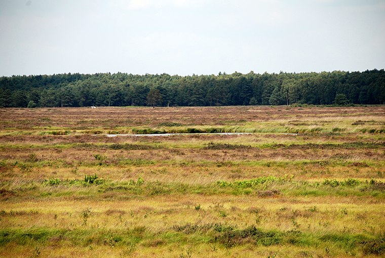 Bissendorfer Moor is a nature reserve, which is situated 3 km southwest of Drei Dörfer Treff Scherenbostel.
St. Georg
Church

Photo: Losch, CC BY-SA 3.0.
St. Georg is a church, which is situated 2½ km northeast of Drei Dörfer Treff Scherenbostel.
Places in the Area
Nearby places include Mellendorf and Bissendorf-Wietze.
Mellendorf
Village

Photo: Losch, CC BY-SA 3.0.
Mellendorf is a village, which is situated 2½ km north of Drei Dörfer Treff Scherenbostel.
Bissendorf-Wietze
Village

Photo: Losch, CC BY-SA 3.0.
Bissendorf-Wietze is a village, which is situated 4½ km east of Drei Dörfer Treff Scherenbostel.
Gailhof
Village

Photo: Losch, CC BY-SA 3.0.
Gailhof is a village, which is situated 4½ km northeast of Drei Dörfer Treff Scherenbostel.
Drei Dörfer Treff Scherenbostel
- Type: Community center
- Category: building
- Location: Wedemark, Hanover Region, Lower Saxony, Germany, Central Europe, Europe
- View on OpenStreetMap
Latitude
52.52454° or 52° 31′ 28″ northLongitude
9.7176° or 9° 43′ 3″ eastOpen location code
9F4FGPF9+R2OpenStreetMap ID
way 245837653OpenStreetMap feature
amenity=community_centreOpenStreetMap feature
building=yes
This page is based on OpenStreetMap, Wikidata, and Wikimedia Commons.
We’d love your help improving our open data sources. Thank you for contributing.
Satellite Map
Discover Drei Dörfer Treff Scherenbostel from above in high-definition satellite imagery.
Notable Places Nearby
Highlights include Schützenverein Scherenbostel and Physical Fitness Center.
Nearby Places
Explore places such as Scherenbostel, Schule and Scherenbostel, Ostpreußenweg.
Hanover Region: Must-Visit Destinations
Delve into Hanover, Hildesheim, Nienburg, and Verden an der Aller.
Curious Community Centers to Discover
Uncover intriguing community centers from every corner of the globe.
About Mapcarta. Data © OpenStreetMap contributors and available under the Open Database License". Text is available under the CC BY-SA 4.0 license, except for photos, directions, and the map. Photo: Ukko.de, CC BY-SA 3.0.