Lauras Pfotenhaus
Lauras Pfotenhaus is in Frankfurt, South Hesse, Hesse. Lauras Pfotenhaus is situated nearby to the sports venue Turngemeinde Unterliederbach 1887, as well as near the cemetery Friedhof Frankfurt-Unterliederbach.| Tap on a place to explore it |
Places of Interest Nearby
Highlights include Graubnerpark and Friedhof Frankfurt-Unterliederbach.
Graubnerpark
Park
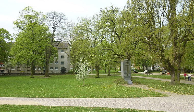
Photo: Frank Behnsen, CC BY-SA 3.0.
Graubnerpark is situated 540 metres southeast of Lauras Pfotenhaus.
Friedhof Frankfurt-Unterliederbach
Cemetery
 Friedhof Frankfurt-Unterliederbach is a cemetery, which is situated 470 metres east of Lauras Pfotenhaus.
Main-Taunus-Zentrum
Shopping center

Photo: MB-one, CC BY-SA 4.0.
Main-Taunus-Zentrum is a shopping center, which is situated 710 metres northeast of Lauras Pfotenhaus.
Places in the Area
Nearby places include Nied and Kriftel.
Nied
Suburb

Photo: Dontworry, CC BY-SA 3.0.
Nied is a quarter of Frankfurt am Main, Germany. It is part of the Ortsbezirk West and is subdivided into the Stadtbezirke Nied-Nord and Nied-Süd. Nied is situated 4 km east of Lauras Pfotenhaus.
Kriftel
Village

Photo: Kiker99, CC BY-SA 3.0.
Kriftel is a municipality in the Main-Taunus district, in Hesse, Germany. It is situated 16 km west of Frankfurt. It has about 11,000 inhabitants. Kriftel is also commonly known as "Fruit Orchard of the Anterior Taunus", because of the fields around it which are mainly used for producing strawberries. Kriftel is situated 5 km southwest of Lauras Pfotenhaus.
Schwedenschanze Kelsterbach
Locality

Photo: Frank Winkelmann, CC BY 3.0.
Schwedenschanze Kelsterbach is a locality, which is situated 5 km south of Lauras Pfotenhaus.
Lauras Pfotenhaus
- Type: Animal boarding
- Location: Frankfurt, South Hesse, Hesse, Germany, Central Europe, Europe
- View on OpenStreetMap
Latitude
50.11283° or 50° 6′ 46″ northLongitude
8.52192° or 8° 31′ 19″ eastOpen location code
9F2C4G7C+4QOpenStreetMap ID
way 248452389OpenStreetMap feature
amenity=animal_boarding
This page is based on OpenStreetMap, Wikidata, and Wikimedia Commons.
We’d love your help improving our open data sources. Thank you for contributing.
Satellite Map
Discover Lauras Pfotenhaus from above in high-definition satellite imagery.
Notable Places Nearby
Highlights include Turngemeinde Unterliederbach 1887 and Heimatmuseum Unterliederbach.
Nearby Places
Explore places such as Lisa’s Hundeparadies and Unterliederbach West.
South Hesse: Must-Visit Destinations
Delve into Darmstadt, Bensheim, Lorsch, and Heppenheim.
Curious Places to Discover
Uncover intriguing places from every corner of the globe.
About Mapcarta. Data © OpenStreetMap contributors and available under the Open Database License". Text is available under the CC BY-SA 4.0 license, except for photos, directions, and the map. Photo: Mylius, GFDL.