Riihimäen hautausmaa
Riihimäen hautausmaa is a cemetery in Tavastia Proper, Southern Finland. Riihimäen hautausmaa is situated nearby to the church Riihimäen Kappelikirkko, as well as near the park Roopenpuisto.| Tap on a place to explore it |
Places of Interest Nearby
Highlights include The Hunting Museum of Finland and Finnish Glass Museum.
The Hunting Museum of Finland
Museum
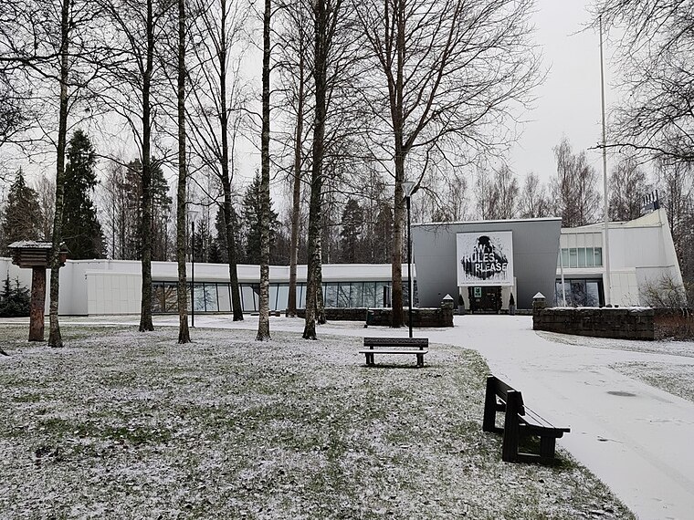
Photo: Parruparr, CC BY-SA 4.0.
The Hunting Museum of Finland is situated 500 metres west of Riihimäen hautausmaa.
Finnish Glass Museum
Museum

Photo: Mikkoau, CC BY-SA 4.0.
Finnish Glass Museum is situated 560 metres northwest of Riihimäen hautausmaa.
Riihimäki railway station
Railway station

Photo: Annelis, CC BY-SA 3.0.
Riihimäki railway station is a railway station located in the town of Riihimäki, Finland. The Finnish Heritage Agency has classified Riihimäki railway station along with the nearby former residential area of railway workers called Rautatienpuisto as nationally significant built cultural environment. Riihimäki railway station is situated 2 km east of Riihimäen hautausmaa.
Places in the Area
Nearby places include Riihimäki and Peltosaari.
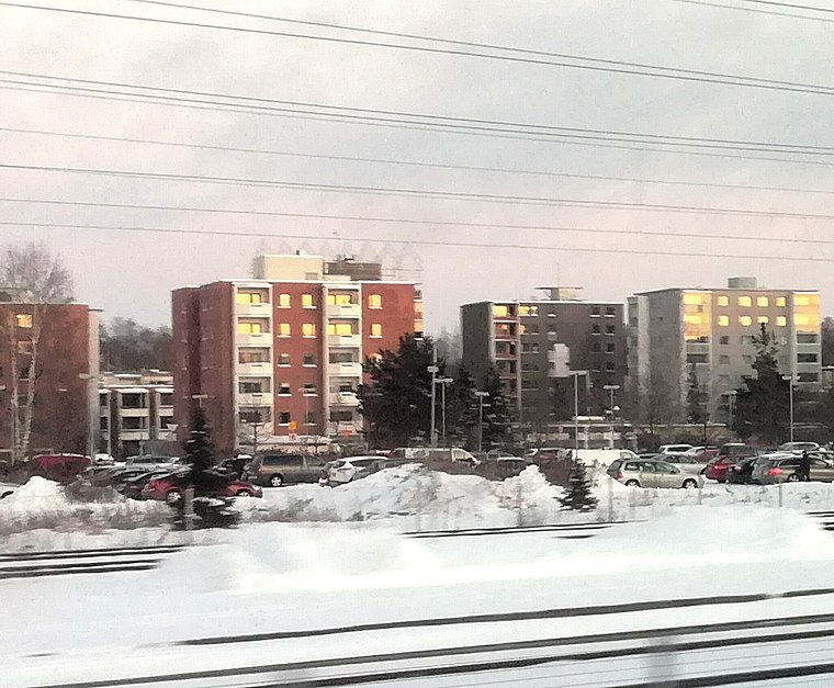
Riihimäki

Photo: Ypsilon from Finland, CC0.
Riihimäki is in Tavastia Proper, about 70 km north of Helsinki. An industrial town of about 29,000 inhabitants, Riihimäki is an important railway junction.
Ryttylä
Town

Photo: Peltsi84, CC BY-SA 3.0.
Hausjärvi is a municipality in Tavastia Proper. The central town is Oitti. The other significant settlements are Hikiä and Ryttylä. Ryttylä is situated 10 km north of Riihimäen hautausmaa.
Riihimäen hautausmaa
- Type: Cemetery
- Denomination: Lutheran
- Category: burial
- Location: Tavastia Proper, Southern Finland, Finland, Nordic countries, Europe
- View on OpenStreetMap
Latitude
60.73003° or 60° 43′ 48″ northLongitude
24.74592° or 24° 44′ 45″ eastOpen location code
9GG6PPJW+29OpenStreetMap ID
way 249460791OpenStreetMap feature
landuse=cemeteryOpenStreetMap attribute
denomination=lutheran
This page is based on OpenStreetMap, Wikidata, and Wikimedia Commons.
We’d love your help improving our open data sources. Thank you for contributing.
Satellite Map
Discover Riihimäen hautausmaa from above in high-definition satellite imagery.
Notable Places Nearby
Highlights include Riihimäen Kappelikirkko and Roopenpuisto.
Nearby Places
Explore places such as Hautausmaan toimisto and Riihimäen hautausmaa I.
Tavastia Proper: Must-Visit Destinations
Delve into Hämeenlinna, Riihimäki, Forssa, and Janakkala.
Curious Cemeteries to Discover
Uncover intriguing cemeteries from every corner of the globe.
About Mapcarta. Data © OpenStreetMap contributors and available under the Open Database License". Text is available under the CC BY-SA 4.0 license, except for photos, directions, and the map. Photo: Wikimedia, CC0.