Baggersee am Tünderschen Bahnhof
Baggersee am Tünderschen Bahnhof is in Hamelin, Hameln-Pyrmont, Lower Saxony. Baggersee am Tünderschen Bahnhof is situated nearby to the battlefield Schlacht bei Hastenbeck, as well as near Schützenverein Hastenbeck.| Tap on a place to explore it |
Places of Interest Nearby
Highlights include Jugendanstalt Hameln and Bückeberg.
Jugendanstalt Hameln
Prison

Photo: Carsten Steger, CC BY-SA 4.0.
Jugendanstalt Hameln is a prison, which is situated 1½ km northwest of Baggersee am Tünderschen Bahnhof.
Bückeberg
Peak

Photo: AxelHH, Public domain.
The Bückeberg is a hill that lies south of Hamelin on the eastern perimeter of the Weser village of Hagenohsen which is on the right-hand, eastern bank of the River Weser in central Germany.
Burg Ohsen
Castle

Photo: AxelHH, CC BY-SA 4.0.
Burg Ohsen is a castle, which is situated 2 km south of Baggersee am Tünderschen Bahnhof.
Places in the Area
Nearby places include Tündern and Emmerthal.

Emmerthal
Village
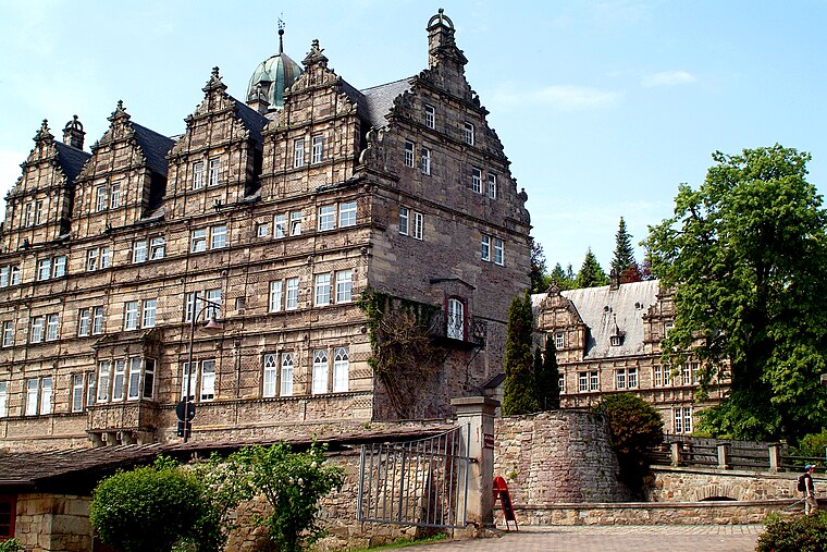
Photo: Bernd Schwabe in Hannover, CC BY-SA 3.0.
Emmerthal is a municipality in the Hameln-Pyrmont district, in Lower Saxony, Germany. It is situated on the river Weser, approximatively 6 km south of Hameln. Emmerthal is situated 2½ km south of Baggersee am Tünderschen Bahnhof.
Diedersen
Village

Photo: AxelHH, CC BY-SA 3.0.
Diedersen is a village, which is situated 5 km northeast of Baggersee am Tünderschen Bahnhof.
Baggersee am Tünderschen Bahnhof
- Type: Body of water
- Location: Hamelin, Hameln-Pyrmont, Southern Lower Saxony, Lower Saxony, Germany, Central Europe, Europe
- View on OpenStreetMap
Latitude
52.07087° or 52° 4′ 15″ northLongitude
9.39933° or 9° 23′ 58″ eastOpen location code
9F4F39CX+8POpenStreetMap ID
way 24965588OpenStreetMap feature
natural=water
This page is based on OpenStreetMap, Wikidata, and Wikimedia Commons.
We’d love your help improving our open data sources. Thank you for contributing.
Satellite Map
Discover Baggersee am Tünderschen Bahnhof from above in high-definition satellite imagery.
Notable Places Nearby
Highlights include Schlacht bei Hastenbeck and Schützenverein Hastenbeck.
Nearby Places
Explore places such as Baggersee am Tünderschen Bahnhof and Tündern Bahnunterführung.
Southern Lower Saxony: Must-Visit Destinations
Delve into Göttingen, Goslar, Hann. Münden, and Einbeck.
Curious Places to Discover
Uncover intriguing places from every corner of the globe.
About Mapcarta. Data © OpenStreetMap contributors and available under the Open Database License". Text is available under the CC BY-SA 4.0 license, except for photos, directions, and the map. Photo: Foto Fitti, CC BY-SA 3.0.