Pumpwerk Zelg
Pumpwerk Zelg is a pumping station in Bauma, Pfäffikon District, Canton of Zurich. Pumpwerk Zelg is situated nearby to the village Sternenberg, as well as near the church Reformierte Kirche.| Tap on a place to explore it |
Places of Interest Nearby
Highlights include Reformierte Kirche and Hörnli.
Reformierte Kirche
Church

Photo: Wikimedia, CC BY-SA 3.0.
Reformierte Kirche is a church, which is situated 250 metres east of Pumpwerk Zelg.
Hörnli
Scenic viewpoint

Photo: Albireo, CC BY-SA 3.0.
Hörnli mountain is located on the territory of the community of Fischenthal, in the Zürcher Oberland, in the eastern part of canton of Zürich, in Switzerland. Hörnli is situated 3 km southeast of Pumpwerk Zelg.
Bauma railway station
Railway station

Photo: Bobo11, CC BY-SA 3.0.
Bauma railway station is a railway station in the Swiss canton of Zurich and municipality of Bauma. The station is situated at the junction of the Töss Valley railway line, which is still in full use, and the Uerikon to Bauma railway, which is partly closed and partly used as a heritage railway. Bauma railway station is situated 3 km southwest of Pumpwerk Zelg.
Places in the Area
Nearby places include Sternenberg and Bauma.
Sternenberg
Village
Photo: Wikimedia, CC BY-SA 3.0.
Sternenberg is a former municipality in the district of Pfäffikon in the canton of Zürich in Switzerland. Bauma and Sternenberg merged to Bauma on 1 January 2015.
Bauma
Village
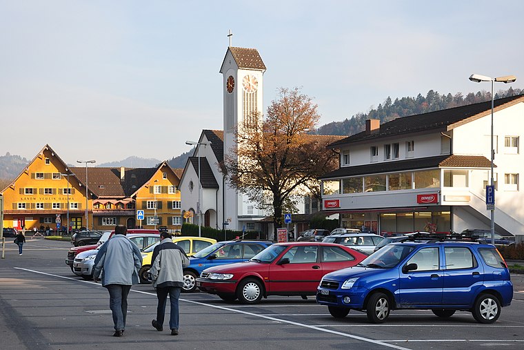
Photo: Roland zh, CC BY-SA 3.0.
Bauma is a municipality in the district of Pfäffikon in the canton of Zurich in Switzerland. Bauma is situated 3 km southwest of Pumpwerk Zelg.
Sitzberg
Hamlet

Photo: 1-Byte, CC BY-SA 4.0.
Sitzberg is a hamlet, which is situated 4 km north of Pumpwerk Zelg.
Pumpwerk Zelg
- Type: Pumping station
- Category: industry
- Location: Bauma, Pfäffikon District, Canton of Zurich, Switzerland, Central Europe, Europe
- View on OpenStreetMap
Latitude
47.38688° or 47° 23′ 13″ northLongitude
8.90851° or 8° 54′ 31″ eastOpen location code
8FVC9WP5+QCOpenStreetMap ID
way 251110863OpenStreetMap feature
landuse=industrialOpenStreetMap feature
man_made=pumping_station
This page is based on OpenStreetMap, Wikidata, and Wikimedia Commons.
We’d love your help improving our open data sources. Thank you for contributing.
Satellite Map
Discover Pumpwerk Zelg from above in high-definition satellite imagery.
Notable Places Nearby
Highlights include Sternwarte Schatzböl and 300m Schiesstand.
Nearby Places
Explore places such as Haselweid and Untersternen.
Switzerland: Must-Visit Destinations
Delve into Zurich, Berne, Geneva, and Basel.
Curious Pumping Stations to Discover
Uncover intriguing pumping stations from every corner of the globe.
About Mapcarta. Data © OpenStreetMap contributors and available under the Open Database License". Text is available under the CC BY-SA 4.0 license, except for photos, directions, and the map. Photo: Wikimedia, CC0.