Nagels Hütte
Nagels Hütte is a shelter in Baden-Württemberg, Germany. Nagels Hütte is situated nearby to the nature reserve Katzenbach-Dünnbachtal, as well as near Bühler Tal und Unterer Bürg.| Tap on a place to explore it |
Places of Interest Nearby
Highlights include Katzenbach-Dünnbachtal and Bühler Tal und Unterer Bürg.

Bühler Tal und Unterer Bürg
Nature reserve
 Bühler Tal und Unterer Bürg is a nature reserve, which is situated 3½ km north of Nagels Hütte.
Places in the Area
Nearby places include Dettingen and Bodelshausen.
Dettingen
Village
Dettingen is a suburban district of Rottenburg am Neckar in the administrative district of Tübingen in Baden-Württemberg. Dettingen is situated 4 km west of Nagels Hütte.
Bodelshausen
Village
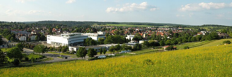
Photo: UnreifeKirsche, CC BY-SA 3.0.
Bodelshausen is a municipality in the district of Tübingen in the German state of Baden-Württemberg. Bodelshausen is situated 4½ km south of Nagels Hütte.
Kiebingen
Village
Kiebingen is a suburban district of Rottenburg am Neckar in the administrative district of Tübingen in Baden-Württemberg, Germany. Kiebingen is situated 5 km north of Nagels Hütte.
Nagels Hütte
- Type: Shelter
- Category: building
- Location: Baden-Württemberg, Germany, Central Europe, Europe
- View on OpenStreetMap
Latitude
48.43378° or 48° 26′ 2″ northLongitude
8.98929° or 8° 59′ 21″ eastOpen location code
8FWCCXMQ+GPOpenStreetMap ID
way 25617954OpenStreetMap feature
amenity=shelterOpenStreetMap feature
building=yes
This page is based on OpenStreetMap, Wikidata, and Wikimedia Commons.
We’d love your help improving our open data sources. Thank you for contributing.
Satellite Map
Discover Nagels Hütte from above in high-definition satellite imagery.
Notable Places Nearby
Highlights include Röhrichbrunnen and Göggenwäldleshalde.
Nearby Places
Explore places such as 60-1K and Eichen-Versteigerung Schönbuch/Ramert.
Baden-Württemberg: Must-Visit Destinations
Delve into Stuttgart, Heidelberg, Karlsruhe, and Mannheim.
Curious Shelters to Discover
Uncover intriguing shelters from every corner of the globe.
About Mapcarta. Data © OpenStreetMap contributors and available under the Open Database License". Text is available under the CC BY-SA 4.0 license, except for photos, directions, and the map. Photo: Traveler100, CC BY-SA 3.0.