Heilsarmee Jugendhaus
Heilsarmee Jugendhaus is a building in Stäfa, Meilen District, Canton of Zurich which is located on Eggacherstrasse. Heilsarmee Jugendhaus is situated nearby to the pitch Tennisanlage Frohberg, as well as near Fussballplatz Frohberg, Stäfa.| Tap on a place to explore it |
Places of Interest Nearby
Highlights include Tüfelsobertili, rampart and Seeweidsee.
Tüfelsobertili, rampart
Archaeological site

Photo: Geonick, CC BY-SA 4.0.
Tüfelsobertili, rampart is an archaeological site, which is situated 1 km south of Heilsarmee Jugendhaus.
Seeweidsee
Lake
Seeweidsee is a lake in the municipality of Hombrechtikon, in the Canton of Zurich, Switzerland. Its surface area is 1.2 ha. Lake has grass floating mat at it shores.
Stäfa railway station
Railway station
 Stäfa is a railway station in the Swiss canton of Zurich, situated in the municipality of Stäfa on the eastern shore of Lake Zurich. The station is located on the Lake Zurich right-bank line, within fare zone 143 of the Zürcher Verkehrsverbund. Stäfa railway station is situated 1½ km southwest of Heilsarmee Jugendhaus.
Places in the Area
Nearby places include Stäfa and Kehlhof.
Stäfa
Town

Photo: Roland zh, CC BY-SA 3.0.
Stäfa is a municipality in the district of Meilen in the canton of Zürich in Switzerland.
Kehlhof
Hamlet
Kehlhof is a village near Rapperswil, Switzerland. It is located on the north bank of the lake of Zurich and is part of the political municipality of Stäfa.
Mutzmalen
Hamlet
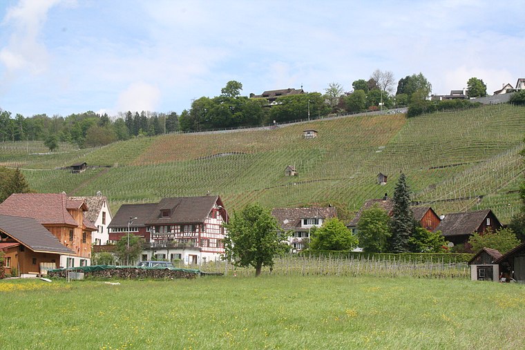
Photo: Parpan05, CC BY-SA 3.0.
Mutzmalen is a small village between Stäfa and Männedorf, in the canton of Zürich in Switzerland.
Heilsarmee Jugendhaus
- Type: Building
- Address: Eggacherstrasse 11, Stäfa, 8712
- Location: Stäfa, Meilen District, Canton of Zurich, Switzerland, Central Europe, Europe
- View on OpenStreetMap
Latitude
47.25039° or 47° 15′ 1″ northLongitude
8.7368° or 8° 44′ 13″ eastOpen location code
8FVC7P2P+5POpenStreetMap ID
way 25758004OpenStreetMap feature
building=yes
This page is based on OpenStreetMap, Wikidata, and Wikimedia Commons.
We’d love your help improving our open data sources. Thank you for contributing.
Satellite Map
Discover Heilsarmee Jugendhaus from above in high-definition satellite imagery.
Notable Places Nearby
Highlights include Tennisanlage Frohberg and Fussballplatz Frohberg, Stäfa.
Nearby Places
Explore places such as Mädchengrab aus der frühen Eisenzeit – ca. 400 v. Chr. and Grube Eggacher Stäfa.
Switzerland: Must-Visit Destinations
Delve into Zurich, Berne, Geneva, and Basel.
Curious Buildings to Discover
Uncover intriguing buildings from every corner of the globe.
About Mapcarta. Data © OpenStreetMap contributors and available under the Open Database License". Text is available under the CC BY-SA 4.0 license, except for photos, directions, and the map. Photo: Wikimedia, CC0.