Shimizu Elementary School
Shimizu Elementary School is a school in Toyoyama, Nishikasugai District, Aichi. Shimizu Elementary School is situated nearby to the park 志水ふれあい広場, as well as near the Shinto shrine Fuji Shrine.| Tap on a place to explore it |
Photo: 円周率3パーセント, CC BY-SA 4.0.
Places of Interest Nearby
Highlights include Kita High School and Nagoya Airfield.
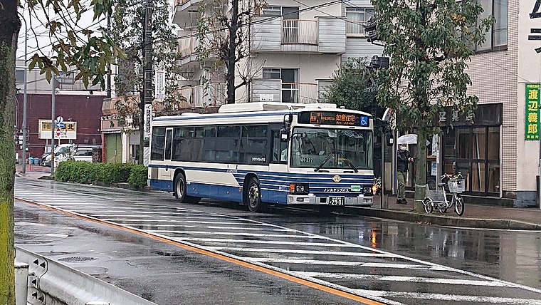
Kita High School
School

Photo: Grape oscillo, CC BY-SA 3.0.
Kita High School is situated 510 metres south of Shimizu Elementary School.
Nagoya Airfield
Aerodrome

Photo: Wikimedia, CC BY-SA 4.0.
Nagoya Airfield, also known as Komaki Airport or Nagoya Airport, is an airport within the local government areas of Toyoyama, Komaki, Kasugai and Nagoya in Aichi Prefecture, Japan.
Nagoya City Central Wholesale Market, Hokubu Market
Marketplace

Photo: 円周率3パーセント, CC BY-SA 4.0.
Nagoya City Central Wholesale Market, Hokubu Market is a marketplace, which is situated 1 km west of Shimizu Elementary School.
Places in the Area
Nearby places include Kusunoki 3-chome and Kita.
Kita
Suburb

Photo: Gnsin, CC BY-SA 3.0.
Kita Ward is one of the 16 wards of the city of Nagoya in Aichi Prefecture, Japan. As of 1 October 2019, the ward had an estimated population of 163,555 and a population density of 9,330 persons per km2. The total area was 17.53 km2. Kita is situated 5 km south of Shimizu Elementary School.
Horibatacho
Quarter
Horibata-chō is a historic neighbourhood located in the Nishi ward of Nagoya, central Japan. Horibatacho is situated 6 km south of Shimizu Elementary School.
Shimizu Elementary School
- Type: School
- Description: primary school
- Categories: elementary school in Japan and education
- Location: Toyoyama, Nishikasugai District, Aichi, Chubu, Japan, East Asia, Asia
- View on OpenStreetMap
Latitude
35.23994° or 35° 14′ 24″ northLongitude
136.9141° or 136° 54′ 51″ eastOpen location code
8Q7R6WQ7+XJOpenStreetMap ID
way 259170920OpenStreetMap feature
amenity=schoolWikidata ID
Q11633410
This page is based on OpenStreetMap, Wikidata, and Wikimedia Commons.
We’d love your help improving our open data sources. Thank you for contributing.
Satellite Map
Discover Shimizu Elementary School from above in high-definition satellite imagery.
In Other Languages
“Shimizu Elementary School” goes by many names.
- Japanese: “志水小学校”
- Japanese: “豊山町立志水小学校”
Notable Places Nearby
Highlights include 志水ふれあい広場 and Fuji Shrine.
Nearby Places
Explore places such as 青塚古墳西 and アド・トラスト.
Aichi: Must-Visit Destinations
Delve into Nagoya, Toyota, Toyohashi, and Okazaki.
Curious Schools to Discover
Uncover intriguing schools from every corner of the globe.
About Mapcarta. Data © OpenStreetMap contributors and available under the Open Database License". Text is available under the CC BY-SA 4.0 license, except for photos, directions, and the map. Photo: 円周率3パーセント, CC BY-SA 4.0.