Lavy Sub
Lavy Sub is a building in Las Palmas, Canary Islands. Lavy Sub is situated nearby to the clinic Vithas Hospital Santa Catalina, as well as near the marina Muelle Deportivo de Las Palmas de Gran Canaria.| Tap on a place to explore it |
Places of Interest Nearby
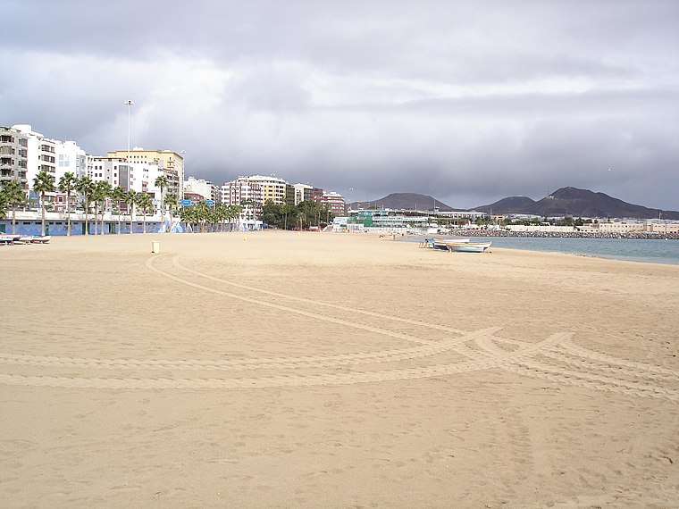
Highlights include Anglican chapel, Las Palmas de Gran Canaria and beach de Las Alcaravaneras.
Anglican chapel, Las Palmas de Gran Canaria
Church

Photo: Jupaseor, CC BY-SA 3.0 es.
Anglican chapel, Las Palmas de Gran Canaria is a church, which is situated 340 metres west of Lavy Sub.
Nestor Museum
Museum

Photo: Pepelopex, CC BY-SA 3.0.
Nestor Museum is situated 640 metres south of Lavy Sub.
Places in the Area
Nearby places include Ciudad Jardín and Las Palmas.

Las Palmas

Photo: Gino maccanti, CC BY 2.0.
Las Palmas de Gran Canaria, or just Las Palmas, is the capital of Gran Canaria, the largest city in the Canary Islands, and one of the largest cities in Spain.
Triana
Suburb

Photo: Pepelopex, CC BY-SA 3.0.
Triana is a suburb, which is situated 2½ km southeast of Lavy Sub.
Lavy Sub
- Type: Building
- Location: Las Palmas, Canary Islands, Spain, Iberia, Europe
- View on OpenStreetMap
Latitude
28.12654° or 28° 7′ 36″ northLongitude
-15.42776° or 15° 25′ 40″ westOpen location code
7CW64HGC+JVOpenStreetMap ID
way 260035982OpenStreetMap feature
building=yes
This page is based on OpenStreetMap, Wikidata, and Wikimedia Commons.
We’d love your help improving our open data sources. Thank you for contributing.
Satellite Map
Discover Lavy Sub from above in high-definition satellite imagery.
Notable Places Nearby
Highlights include Vithas Hospital Santa Catalina and Muelle Deportivo de Las Palmas de Gran Canaria.
Nearby Places
Explore places such as Sailor’s Bay and Ayuntamiento de Las Palmas de G.C.
Canary Islands: Must-Visit Destinations
Delve into Santa Cruz de Tenerife, Las Palmas, La Palma, and La Gomera.
Curious Buildings to Discover
Uncover intriguing buildings from every corner of the globe.
About Mapcarta. Data © OpenStreetMap contributors and available under the Open Database License". Text is available under the CC BY-SA 4.0 license, except for photos, directions, and the map. Photo: Wikimedia, CC BY-SA 4.0.