Dorplast
Dorplast is in Łódź, Łódzkie. Dorplast is situated nearby to the church Kaplica pw. Matki Boskiej Nieustającej Pomocy, as well as near the cemetery Cmentarz Komunalny „Szczecińska”.| Tap on a place to explore it |
Places of Interest Nearby
Highlights include Cmentarz Rzymskokatolicki pw. Matki Boskiej Nieustającej Pomocy and Old orphanage in Helenówek.
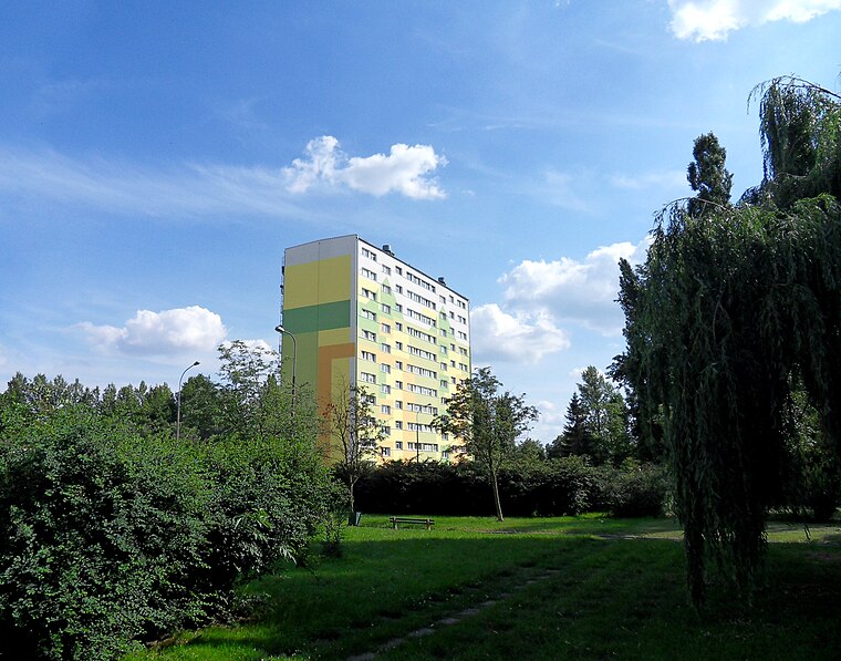
Cmentarz Rzymskokatolicki pw. Matki Boskiej Nieustającej Pomocy
Cemetery

Photo: Darekm135, CC BY-SA 4.0.
Cmentarz Rzymskokatolicki pw. Matki Boskiej Nieustającej Pomocy is a cemetery, which is situated 670 metres northwest of Dorplast.
Old orphanage in Helenówek

Photo: Wikimedia, Public domain.
Old orphanage in Helenówek is situated 2 km northeast of Dorplast.
Łódź Żabieniec railway station
Railway station

Photo: HuBar, CC BY-SA 2.5.
Łódź Żabieniec is a railway station in Łódź, Poland, located in Bałuty district. It serves regional passenger traffic from Łódź Kaliska station to Zgierz, Łowicz, Kutno and Toruń. Łódź Żabieniec railway station is situated 3 km southeast of Dorplast.
Places in the Area
Nearby places include Teofilów and Radogoszcz.
Radogoszcz
Quarter
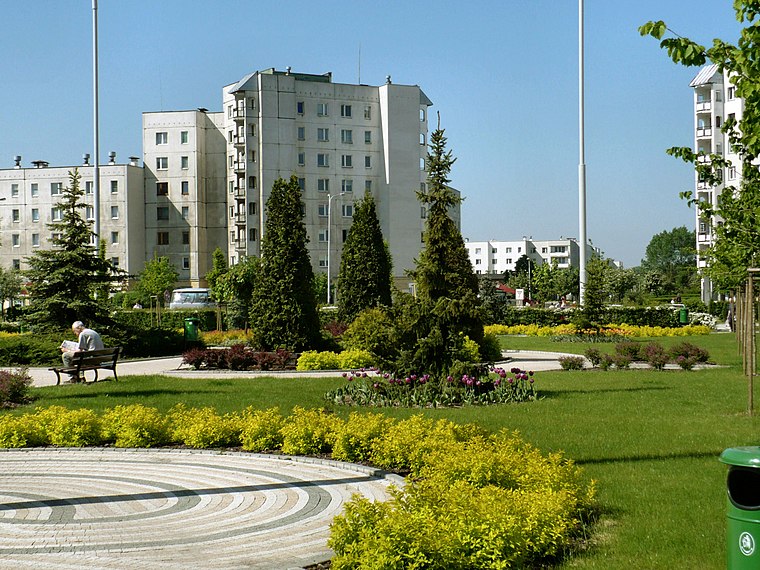
Photo: Mietek Ł, CC BY-SA 3.0.
Radogoszcz is a quarter, which is situated 3½ km east of Dorplast.
Antoniew
Village
Antoniew is a village in the administrative district of Gmina Aleksandrów Łódzki, within Zgierz County, Łódź Voivodeship, in central Poland. It lies approximately 4 km south-east of Aleksandrów Łódzki, 8 km south-west of Zgierz, and 9 km west of the regional capital Łódź. Antoniew is situated 3½ km southwest of Dorplast.
Dorplast
- Type: Industry
- Location: Łódź, Łódzkie, Poland, Central Europe, Europe
- View on OpenStreetMap
Latitude
51.81431° or 51° 48′ 52″ northLongitude
19.38264° or 19° 22′ 58″ eastOpen location code
9F3XR97M+P3OpenStreetMap ID
way 260072539OpenStreetMap feature
landuse=industrial
This page is based on OpenStreetMap, Wikidata, and Wikimedia Commons.
We’d love your help improving our open data sources. Thank you for contributing.
Satellite Map
Discover Dorplast from above in high-definition satellite imagery.
Notable Places Nearby
Highlights include Kaplica pw. Matki Boskiej Nieustającej Pomocy and Cmentarz Komunalny „Szczecińska”.
Nearby Places
Explore places such as Bag-Druk and Bliska.
Łódzkie: Must-Visit Destinations
Delve into Piotrków Trybunalski and Bełchatów.
Curious Places to Discover
Uncover intriguing places from every corner of the globe.
About Mapcarta. Data © OpenStreetMap contributors and available under the Open Database License". Text is available under the CC BY-SA 4.0 license, except for photos, directions, and the map. Photo: Arewicz, CC BY-SA 3.0.