Lotissement les Prés Champrins
Lotissement les Prés Champrins is a residential area in Lure, Haute-Saône, Bourgogne-Franche-Comté. Lotissement les Prés Champrins is situated nearby to the cemetery Cimetière En Vergerot, as well as near the police station Gendarmerie nationale.| Tap on a place to explore it |
Places of Interest Nearby
Highlights include Gare de Lure and Parc de l’Abbaye.
Gare de Lure
Railway station
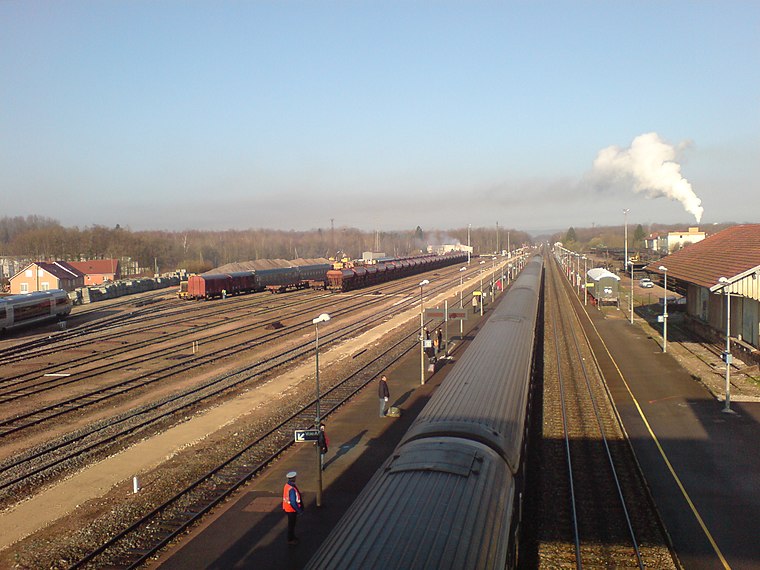
Photo: Medjaï, Public domain.
Gare de Lure is a railway station, which is situated 1 km south of Lotissement les Prés Champrins.
Parc de l’Abbaye
Park

Photo: Wikimedia, Public domain.
Parc de l’Abbaye is a park, which is situated 740 metres south of Lotissement les Prés Champrins.
Église Saint-Martin de Lure
Church

Photo: A.BourgeoisP, CC BY-SA 4.0.
Église Saint-Martin de Lure is a church, which is situated 1 km southeast of Lotissement les Prés Champrins.
Places in the Area
Nearby places include Magny-Vernois and Froideterre.
Magny-Vernois
Village

Photo: A.BourgeoisP, CC BY-SA 4.0.
Magny-Vernois is a commune in the Haute-Saône department in the region of Bourgogne-Franche-Comté in eastern France. Magny-Vernois is situated 3 km southwest of Lotissement les Prés Champrins.
Froideterre
Village

Photo: A.BourgeoisP, CC BY-SA 4.0.
Froideterre is a commune in the Haute-Saône department in the region of Bourgogne-Franche-Comté in eastern France. Froideterre is situated 3½ km northeast of Lotissement les Prés Champrins.
Saint-Germain
Village

Photo: A.BourgeoisP, CC BY-SA 4.0.
Saint-Germain is a commune in the Haute-Saône department in the region of Bourgogne-Franche-Comté in eastern France. The town is mainly known for the Grande Pile bog which is a reference for the climatic history of Western Europe. Saint-Germain is situated 4½ km northeast of Lotissement les Prés Champrins.
Lotissement les Prés Champrins
- Type: Residential area
- Location: Lure, Arrondissement of Lure, Haute-Saône, Bourgogne-Franche-Comté, France, Europe
- View on OpenStreetMap
Latitude
47.69261° or 47° 41′ 33″ northLongitude
6.48887° or 6° 29′ 20″ eastOpen location code
8FV8MFVQ+2GOpenStreetMap ID
way 263470815OpenStreetMap feature
landuse=residential
This page is based on OpenStreetMap, Wikidata, and Wikimedia Commons.
We’d love your help improving our open data sources. Thank you for contributing.
Satellite Map
Discover Lotissement les Prés Champrins from above in high-definition satellite imagery.
Notable Places Nearby
Highlights include Cimetière En Vergerot and Gendarmerie nationale.
Nearby Places
Explore places such as SARL HORTA - PEUGEOT and La Brasse à Roro.
Bourgogne-Franche-Comté: Must-Visit Destinations
Delve into Nièvre, Dijon, Besançon, and Vesoul.
Curious Residential Areas to Discover
Uncover intriguing residential areas from every corner of the globe.
About Mapcarta. Data © OpenStreetMap contributors and available under the Open Database License". Text is available under the CC BY-SA 4.0 license, except for photos, directions, and the map. Photo: Bourgeois.A, CC BY-SA 3.0.