H21
H21 is a building in Eggerberg, Brig District, Valais. H21 is situated nearby to the fire station Werksfeuerwehr/Stützpunktfeuerwehr C (Chemiewehr) Lonza, as well as near the playground Kleegärten.| Tap on a place to explore it |
Places of Interest Nearby
Highlights include Visp railway station and Eggerberg railway station.
Visp railway station
Railway station

Photo: Gürbetaler, CC BY-SA 4.0.
Visp railway station is a junction station at Visp, in the canton of Valais, Switzerland. It has a modern station building completed in 2007, and is served by two standard gauge lines and a metre gauge line. Visp railway station is situated 760 metres south of H21.
Eggerberg railway station
Railway station

Photo: NAC, CC BY-SA 4.0.
Eggerberg is a railway station in the Swiss canton of Valais and municipality of Eggerberg. The station is located on the Lötschberg line of the BLS AG, and is adjacent to Eggerberg village. Eggerberg railway station is situated 700 metres north of H21.
Reformierte Kirche Visp
Church

Photo: Michael D. Schmid, CC BY-SA 3.0.
Reformierte Kirche Visp is a church, which is situated 1¼ km south of H21.
Places in the Area
Nearby places include Visp and Baltschieder.
Visp

Photo: Fabienp, CC BY-SA 3.0.
Visp is a German-speaking town in the Swiss canton of Valais. It is located in the Rhone valley and is a major industrial centre in the region. Its location at the intersection of three train lines and a big bus interchange make it a gateway to many of the towns and resorts in the upper part of the Valais.
Baltschieder
Village
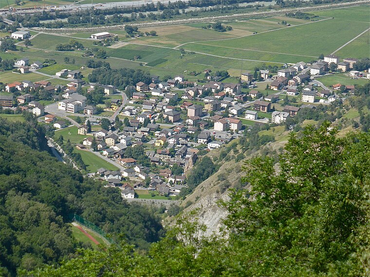
Photo: Albins, CC BY-SA 4.0.
Baltschieder is a municipality in the district of Visp in the canton of Valais in Switzerland.
Brigerbad
Village

Photo: Brigerbad, CC BY-SA 3.0.
Brigerbad is a village, which is situated 2½ km east of H21.
H21
- Type: Building
- Location: Eggerberg, Brig District, Valais, Switzerland, Central Europe, Europe
- View on OpenStreetMap
Latitude
46.30018° or 46° 18′ 1″ northLongitude
7.88517° or 7° 53′ 7″ eastOpen location code
8FR98V2P+33OpenStreetMap ID
way 263841978OpenStreetMap feature
building=yes
This page is based on OpenStreetMap, Wikidata, and Wikimedia Commons.
We’d love your help improving our open data sources. Thank you for contributing.
Satellite Map
Discover H21 from above in high-definition satellite imagery.
Places with the Same Name
Discover other places named “H21”.
Notable Places Nearby
Highlights include Werksfeuerwehr/Stützpunktfeuerwehr C (Chemiewehr) Lonza and Kleegärten.
Nearby Places
Explore places such as H06 and H30.
Valais: Must-Visit Destinations
Delve into Sion, Zermatt, Martigny, and Brig.
Curious Buildings to Discover
Uncover intriguing buildings from every corner of the globe.
About Mapcarta. Data © OpenStreetMap contributors and available under the Open Database License". Text is available under the CC BY-SA 4.0 license, except for photos, directions, and the map. Photo: Debugman, CC BY 3.0.