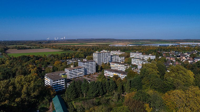
Fülleshof
Fülleshof is a residential area in Kerpen, Rhein-Erft-Kreis, North Rhine-Westphalia. Fülleshof is situated nearby to the theme park Naturparkzentrum Gymnicher Mühle, as well as near KM 51 - Erftmuseum.| Tap on a place to explore it |
Places of Interest Nearby
Highlights include Gymnicher Mühle and Schloss Türnich.
Gymnicher Mühle

Photo: Superbass, CC BY-SA 3.0.
Gymnicher Mühle is situated 470 metres southeast of Fülleshof.
Schloss Türnich

Photo: Sir Gawain, CC BY-SA 4.0.
Schloss Türnich is a schloss located in Türnich, now part of Kerpen, North Rhine-Westphalia, Germany. The present main building was built from 1757 to 1766 in Baroque style, with an adjacent English landscape park. Schloss Türnich is situated 1 km northeast of Fülleshof.
St. Rochus
Church

Photo: A.Savin, CC BY-SA 3.0.
St. Rochus is a church, which is situated 2 km east of Fülleshof.
Places in the Area
Nearby places include Türnich and Balkhausen.

Kerpen
Town

Photo: A.Savin, CC BY-SA 3.0.
Kerpen is the most populated town in the Rhein-Erft-Kreis. It is located about 20 kilometres southwest from Cologne. As of 2023, Kerpen has a total population of 67,627. Kerpen is situated 2½ km northwest of Fülleshof.
Fülleshof
Latitude
50.85797° or 50° 51′ 29″ northLongitude
6.72802° or 6° 43′ 41″ eastOpen location code
9F28VP5H+56OpenStreetMap ID
way 26419133OpenStreetMap feature
landuse=residential
This page is based on OpenStreetMap, Wikidata, and Wikimedia Commons.
We’d love your help improving our open data sources. Thank you for contributing.
Satellite Map
Discover Fülleshof from above in high-definition satellite imagery.
Notable Places Nearby
Highlights include Naturparkzentrum Gymnicher Mühle and KM 51 - Erftmuseum.
Nearby Places
Explore places such as Wasserwerkstatt and Falknerei Pierre Schmidt.
North Rhine-Westphalia: Must-Visit Destinations
Delve into Cologne, Düsseldorf, Bonn, and Dortmund.
Curious Residential Areas to Discover
Uncover intriguing residential areas from every corner of the globe.
About Mapcarta. Data © OpenStreetMap contributors and available under the Open Database License". Text is available under the CC BY-SA 4.0 license, except for photos, directions, and the map. Photo: Daniel Schwen, CC BY-SA 2.5.