Neels
Neels is a farm in Hude, Oldenburg, Lower Saxony. Neels is situated nearby to the village Sandtange, as well as near the deciduous forest Hemmelsholz.| Tap on a place to explore it |
Places of Interest Nearby
Highlights include Oldenburg-Hatten airfield.
Oldenburg-Hatten airfield
Aerodrome

Photo: Carsten Steger, CC BY-SA 4.0.
Oldenburg-Hatten airfield is an aerodrome.
Places in the Area
Nearby places include Sandtange and Lintel.


Sandkrug
Town
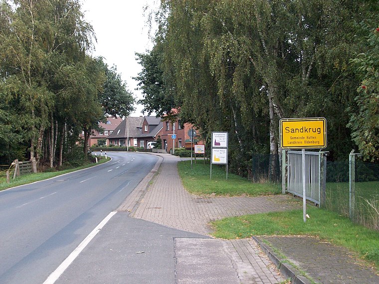
Photo: jul8234, CC BY-SA 3.0.
Sandkrug is a town, which is situated 6 km southwest of Neels.
Neels
- Type: Farm
- Category: agriculture
- Location: Hude, Oldenburg, Lower Saxony, Germany, Central Europe, Europe
- View on OpenStreetMap
Latitude
53.08308° or 53° 4′ 59″ northLongitude
8.3318° or 8° 19′ 55″ eastOpen location code
9F5C38MJ+6POpenStreetMap ID
way 264272019OpenStreetMap feature
landuse=farmyard
This page is based on OpenStreetMap, Wikidata, and Wikimedia Commons.
We’d love your help improving our open data sources. Thank you for contributing.
Satellite Map
Discover Neels from above in high-definition satellite imagery.
Places with the Same Name
Discover other places named “Neels”.
Notable Places Nearby
Highlights include Rastplatz Hemmelsberg and Oldenburg 10 km.
Nearby Places
Explore places such as Rabenstrothgraben and Alte Schule.
Lower Saxony: Must-Visit Destinations
Delve into Hanover, Göttingen, Brunswick, and Wolfsburg.
Curious Farms to Discover
Uncover intriguing farms from every corner of the globe.
About Mapcarta. Data © OpenStreetMap contributors and available under the Open Database License". Text is available under the CC BY-SA 4.0 license, except for photos, directions, and the map. Photo: Danapit, CC BY-SA 3.0.