Müllumladestation, Mülldeponie Gutenfurt
Müllumladestation, Mülldeponie Gutenfurt is a landfill in Ravensburg, Tübingen Region, Baden-Württemberg. Müllumladestation, Mülldeponie Gutenfurt is situated nearby to the forest Schussenwald, as well as near the sports venue Schussentalhalle.| Tap on a place to explore it |
Places of Interest Nearby
Highlights include Kapelle St. Georg and Bonifatiuskapelle.
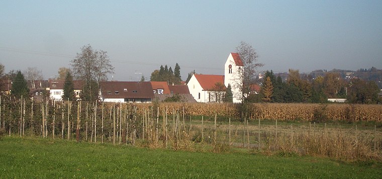
Kapelle St. Georg
Chapel
 Kapelle St. Georg is a chapel, which is situated 2 km southeast of Müllumladestation, Mülldeponie Gutenfurt.
Bonifatiuskapelle
Church

Photo: DKrieger, CC BY-SA 3.0.
Bonifatiuskapelle is a church, which is situated 3 km south of Müllumladestation, Mülldeponie Gutenfurt.
Weissenau Abbey Church
Church
 Weissenau Abbey Church is situated 3 km northeast of Müllumladestation, Mülldeponie Gutenfurt.
Places in the Area
Nearby places include Oberzell and Oberhofen.
Oberhofen
Village
 Oberhofen is a village, which is situated 2½ km east of Müllumladestation, Mülldeponie Gutenfurt.
Liebenau
Suburb
 Liebenau is a suburb, which is situated 4½ km southeast of Müllumladestation, Mülldeponie Gutenfurt.
Müllumladestation, Mülldeponie Gutenfurt
- Type: Landfill
- Location: Ravensburg, Ravensburg, Tübingen Region, Bodensee Region, Baden-Württemberg, Germany, Central Europe, Europe
- View on OpenStreetMap
Latitude
47.74231° or 47° 44′ 32″ northLongitude
9.56958° or 9° 34′ 11″ eastOpen location code
8FVFPHR9+WROpenStreetMap ID
way 26614690OpenStreetMap feature
landuse=landfill
This page is based on OpenStreetMap, Wikidata, and Wikimedia Commons.
We’d love your help improving our open data sources. Thank you for contributing.
Satellite Map
Discover Müllumladestation, Mülldeponie Gutenfurt from above in high-definition satellite imagery.
Notable Places Nearby
Highlights include Schussenwald and Schussentalhalle.
Nearby Places
Explore places such as TÜV SÜD Industrie Service GmbH and mateco GmbH.
Bodensee Region: Must-Visit Destinations
Delve into Konstanz, Friedrichshafen, Sigmaringen, and Überlingen.
Curious Landfills to Discover
Uncover intriguing landfills from every corner of the globe.
About Mapcarta. Data © OpenStreetMap contributors and available under the Open Database License". Text is available under the CC BY-SA 4.0 license, except for photos, directions, and the map. Photo: Wikimedia, CC BY 3.0.