Herrmannsteich
Herrmannsteich is in Osternienburger Land, Anhalt-Bitterfeld, Saxony-Anhalt. Herrmannsteich is situated nearby to the lake Löbitzsee, as well as near the nature reserve Neolith-Teich.| Tap on a place to explore it |
Places of Interest Nearby
Highlights include Neolith-Teich and Kirche Trebbichau.

Kirche Trebbichau
Church

Photo: Jwaller, CC BY-SA 4.0.
Kirche Trebbichau is a church, which is situated 2 km east of Herrmannsteich.
Großsteingrab Wulfen
Archaeological site
 Großsteingrab Wulfen is an archaeological site, which is situated 3½ km west of Herrmannsteich.
Places in the Area
Nearby places include Diebzig and Aken.
Diebzig
Village

Photo: Dguendel, CC BY-SA 4.0.
Diebzig is a village and a former municipality in the district of Anhalt-Bitterfeld, in Saxony-Anhalt, Germany. Since 1 January 2010, it is part of the municipality Osternienburger Land. Diebzig is situated 6 km northwest of Herrmannsteich.
Aken
Town
 Aken is a town in the district of Anhalt-Bitterfeld in Saxony-Anhalt, Germany. The town is located at the left bank of the river Elbe. Aken is situated 6 km northeast of Herrmannsteich.
Thurau
Hamlet
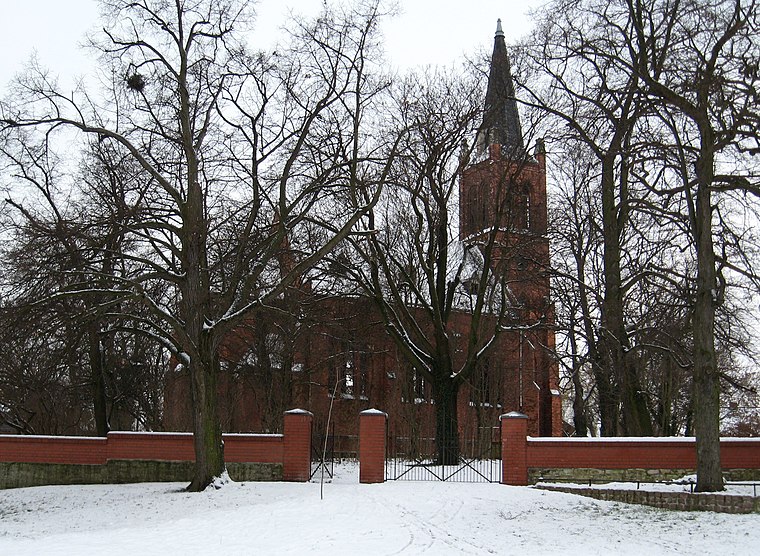
Photo: Sicherlich, CC BY 3.0.
Thurau is a hamlet, which is situated 6 km southwest of Herrmannsteich.
Herrmannsteich
Latitude
51.81994° or 51° 49′ 12″ northLongitude
11.9802° or 11° 58′ 49″ eastOpen location code
9F3HRX9J+X3OpenStreetMap ID
way 27230902OpenStreetMap feature
natural=water
This page is based on OpenStreetMap, Wikidata, and Wikimedia Commons.
We’d love your help improving our open data sources. Thank you for contributing.
Satellite Map
Discover Herrmannsteich from above in high-definition satellite imagery.
Notable Places Nearby
Highlights include Löbitzsee and Freiwillige Feuerwehr Micheln.
Nearby Places
Explore places such as Faule Lache and Bauernteich.
Saxony-Anhalt: Must-Visit Destinations
Delve into Magdeburg, Halle, Wittenberg, and Quedlinburg.
Curious Places to Discover
Uncover intriguing places from every corner of the globe.
About Mapcarta. Data © OpenStreetMap contributors and available under the Open Database License". Text is available under the CC BY-SA 4.0 license, except for photos, directions, and the map. Photo: Sicherlich, CC BY 4.0.