قريش الوادي
قريش الوادي is a residential area in Guerich El Ouedi, Medjez El Bab, Béja Governorate. قريش الوادي is situated nearby to the town Majaz al Bab.| Tap on a place to explore it |
Places in the Area
Nearby places include Majaz al Bab and Bordj Toumi.
Majaz al Bab
Town
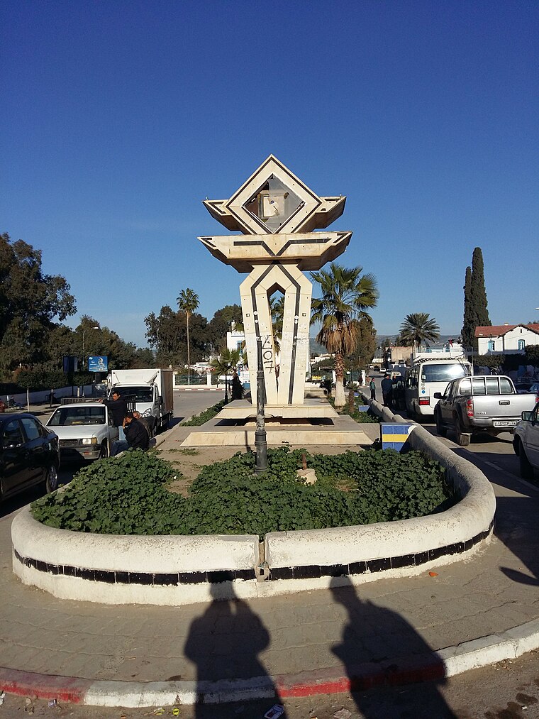
Photo: Aya nefzi, CC BY-SA 4.0.
Majaz al Bab, also known as Medjez el Bab, or as Membressa under the Roman Empire, is a town in northern Tunisia. It is located at the intersection of roads GP5 and GP6, in the Plaine de la Medjerda. It has been a titular see of the Catholic Church since 1933. Majaz al Bab is situated 6 km southwest of قريش الوادي.
Bordj Toumi
Village
Bordj Toumi or Borj Toumi is a town in Tunisia located at 36°45'33"N 9°43'3"E It is a railway town on the Medjerda river. The town is near Dor el Gabsi west of Tunis and at n elevation of 52 meters above sea level. Bordj Toumi is situated 10 km northeast of قريش الوادي.
قريش الوادي
- Type: Residential area
- Location: Guerich El Ouedi, Medjez El Bab, Béja Governorate, Tunisia, North Africa, Africa
- View on OpenStreetMap
Latitude
36.6784° or 36° 40′ 42″ northLongitude
9.66655° or 9° 39′ 60″ eastOpen location code
8F8FMMH8+9JOpenStreetMap ID
way 274171021OpenStreetMap feature
landuse=residential
This page is based on OpenStreetMap, Wikidata, and Wikimedia Commons.
We’d love your help improving our open data sources. Thank you for contributing.
Satellite Map
Discover قريش الوادي from above in high-definition satellite imagery.
In Other Languages
“قريش الوادي” goes by many names.
- Arabic: “قريش الوادي”
Places with the Same Name
Discover other places named “قريش الوادي”.
Notable Places Nearby
Highlights include Mosque and فرقة الحماية المدنية بإنجاز الباب.
Nearby Places
Explore places such as عجيل and Gare de Medjez el Beb.
Tunisia: Must-Visit Destinations
Delve into Tunis, Carthage, Sousse, and Kairouan.
Curious Residential Areas to Discover
Uncover intriguing residential areas from every corner of the globe.
About Mapcarta. Data © OpenStreetMap contributors and available under the Open Database License". Text is available under the CC BY-SA 4.0 license, except for photos, directions, and the map. Photo: Wikimedia, CC0.