Freiwillige Feuerwehr Giesen
Freiwillige Feuerwehr Giesen is a fire station in Giesen, Hildesheim, Lower Saxony. Freiwillige Feuerwehr Giesen is situated nearby to the police station Polizeistation Giesen, as well as near the town hall Rathaus.| Tap on a place to explore it |
Places of Interest Nearby
Highlights include St. Martin and St. Vitus (Groß Giesen).
St. Martin
Church

Photo: Rabanus Flavus, Public domain.
St. Martin is a church, which is situated 390 metres east of Freiwillige Feuerwehr Giesen.
St. Vitus (Groß Giesen)
Church

Photo: Kirchenfan, CC0.
St. Vitus (Groß Giesen) is a church, which is situated 410 metres northwest of Freiwillige Feuerwehr Giesen.
Giesen Hills
Forest
The Giesen Hills are a ridge, up to 242.5 metres high, in the district of Hildesheim in the German state of Lower Saxony.
Places in the Area
Nearby places include Klein Förste and Emmerke.
Klein Förste
Village

Photo: Kirchenfan, CC0.
Klein Förste is a village, which is situated 2½ km northeast of Freiwillige Feuerwehr Giesen.
Emmerke
Village
 Emmerke is a part of the municipality of Giesen in the district of Hildesheim, Lower Saxony, in north-western Germany. Emmerke is situated 4 km southwest of Freiwillige Feuerwehr Giesen.
Asel (Harsum)
Village
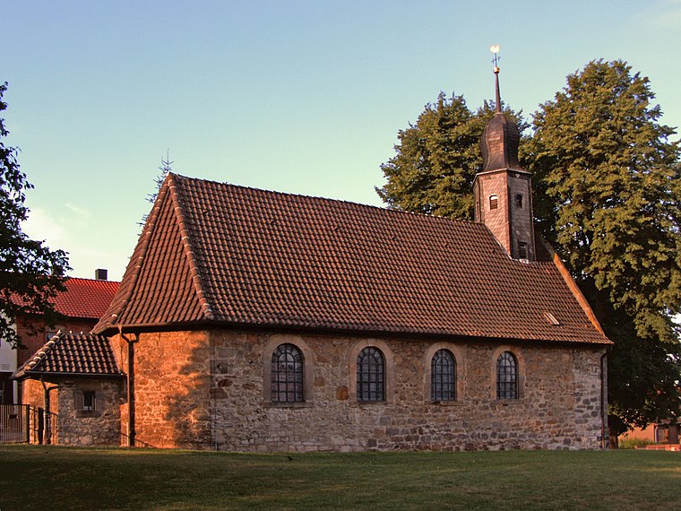
Photo: Kirchenfan, CC0.
Asel (Harsum) is a village, which is situated 5 km east of Freiwillige Feuerwehr Giesen.
Freiwillige Feuerwehr Giesen
- Type: Fire station
- Category: building
- Location: Giesen, Hildesheim, Lower Saxony, Germany, Central Europe, Europe
- View on OpenStreetMap
Latitude
52.19675° or 52° 11′ 48″ northLongitude
9.8995° or 9° 53′ 58″ eastOpen location code
9F4F5VWX+MQOpenStreetMap ID
way 276465272OpenStreetMap feature
amenity=fire_stationOpenStreetMap feature
building=yes
This page is based on OpenStreetMap, Wikidata, and Wikimedia Commons.
We’d love your help improving our open data sources. Thank you for contributing.
Satellite Map
Discover Freiwillige Feuerwehr Giesen from above in high-definition satellite imagery.
Notable Places Nearby
Highlights include Polizeistation Giesen and Rathaus.
Nearby Places
Explore places such as Volksbank and Rathaus.
Lower Saxony: Must-Visit Destinations
Delve into Hanover, Göttingen, Brunswick, and Wolfsburg.
Curious Fire Stations to Discover
Uncover intriguing fire stations from every corner of the globe.
About Mapcarta. Data © OpenStreetMap contributors and available under the Open Database License". Text is available under the CC BY-SA 4.0 license, except for photos, directions, and the map. Photo: Danapit, CC BY-SA 3.0.