Issorissoq
Issorissoq is an islet in Sermersooq, Greenland. Issorissoq is situated nearby to the islet Savittarfikasik.| Tap on a place to explore it |
Places in the Area
Nearby places include Radiofjeldet and Nuuk Centrum.
Radiofjeldet
Neighborhood
 Radiofjeldet is a neighborhood, which is situated 7 km northeast of Issorissoq.
Nuuk Centrum
Suburb
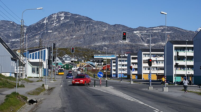
Photo: Algkalv, CC BY-SA 3.0.
Nuuk Centrum is a district of Nuuk, the capital of Greenland. Together with the Old Nuuk neighborhood, it encompasses the southern and central part of the town. Most of the institutions and businesses are based in the district. Nuuk Centrum is situated 8 km northeast of Issorissoq.
Old Nuuk
Neighborhood

Photo: Wikimedia, Public domain.
Old Nuuk may refer to several neighborhoods of Nuuk, the capital of Greenland. The Lutheran mission was originally based on Hope Island at the head of the fjord but was moved to the mainland and christened Godthaab by the royal governor Claus Paarss in 1728. Old Nuuk is situated 8 km northeast of Issorissoq.
Issorissoq
- Type: Islet
- Categories: coastline, locality, and landform
- Location: Sermersooq, Greenland, North America
- View on OpenStreetMap
Latitude
64.11495° or 64° 6′ 54″ northLongitude
-51.81674° or 51° 49′ 0″ westOpen location code
98PC457M+X8OpenStreetMap ID
way 27725684OpenStreetMap feature
natural=coastlineOpenStreetMap feature
place=islet
This page is based on OpenStreetMap, Wikidata, and Wikimedia Commons.
We’d love your help improving our open data sources. Thank you for contributing.
Satellite Map
Discover Issorissoq from above in high-definition satellite imagery.
Places with the Same Name
Discover other places named “Issorissoq”.
Notable Places Nearby
Highlights include Savittarfikasik and Taaqqu.
Nearby Places
Explore places such as Holms dyreartikler and Paju.gl.
Greenland: Must-Visit Destinations
Delve into Nuuk, Ilulissat, Northeast Greenland National Park, and Sisimiut.
Curious Islets to Discover
Uncover intriguing islets from every corner of the globe.
About Mapcarta. Data © OpenStreetMap contributors and available under the Open Database License". Text is available under the CC BY-SA 4.0 license, except for photos, directions, and the map. Photo: Slaunger, CC BY-SA 3.0.