Kleingärtnerverein ‘Sonnenhang’
Kleingärtnerverein ‘Sonnenhang’ is an allotment garden in Dresden, Saxon Elbland, Saxony. Kleingärtnerverein ‘Sonnenhang’ is situated nearby to the police station Behördenareal Neuländer Straße 60, as well as near the neighborhood Großsiedlung Trachau.| Tap on a place to explore it |
Places of Interest Nearby
Highlights include Krankenhaus Dresden-Neustadt and Waldbestand Neuländer Straße.
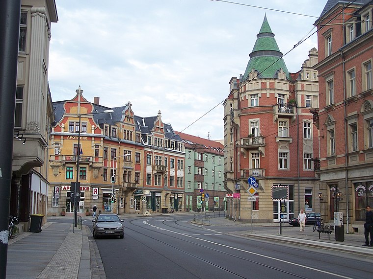
Krankenhaus Dresden-Neustadt
Hospital

Photo: Wikimedia, CC BY-SA 4.0.
Krankenhaus Dresden-Neustadt is a hospital, which is situated 620 metres southeast of Kleingärtnerverein ‘Sonnenhang’.
Waldbestand Neuländer Straße
Protected area

Photo: Staubi59, CC BY-SA 4.0.
Waldbestand Neuländer Straße is a protected area, which is situated 580 metres northeast of Kleingärtnerverein ‘Sonnenhang’.
Apostle Church
Church

Photo: X-Weinzar, CC BY-SA 3.0.
Apostle Church is situated 560 metres southeast of Kleingärtnerverein ‘Sonnenhang’.
Places in the Area
Nearby places include Großsiedlung Trachau and Trachau.
Großsiedlung Trachau
Neighborhood

Photo: X-Weinzar, CC BY-SA 2.5.
Großsiedlung Trachau is a neighborhood.
Trachenberge
Suburb

Photo: X-Weinzar, CC BY-SA 3.0.
Trachenberge is a quarter in the city of Dresden located in the state of Saxony in Germany. It between in the northern part of the city between Pieschen and Kaditz. The area is known for its hillside and views of the Elbe river valley.
Kleingärtnerverein ‘Sonnenhang’
- Type: Allotment garden
- Location: Dresden, Saxon Elbland, Saxony, Germany, Central Europe, Europe
- View on OpenStreetMap
Latitude
51.09575° or 51° 5′ 45″ northLongitude
13.70455° or 13° 42′ 16″ eastOperator
VereinOpen location code
9F3M3PW3+7ROpenStreetMap ID
way 279553535OpenStreetMap feature
landuse=allotments
This page is based on OpenStreetMap, Wikidata, and Wikimedia Commons.
We’d love your help improving our open data sources. Thank you for contributing.
Satellite Map
Discover Kleingärtnerverein ‘Sonnenhang’ from above in high-definition satellite imagery.
Places with the Same Name
Discover other places named “Kleingärtnerverein ‘Sonnenhang’”.
Notable Places Nearby
Highlights include Behördenareal Neuländer Straße 60 and Sportplatz Aachener Straße.
Nearby Places
Explore places such as Kita Schützenhofstraße and KGV Trachau e.V..
Saxon Elbland: Must-Visit Destinations
Delve into Meißen, Riesa, Radebeul, and Freital.
Curious Allotment Gardens to Discover
Uncover intriguing allotment gardens from every corner of the globe.
About Mapcarta. Data © OpenStreetMap contributors and available under the Open Database License". Text is available under the CC BY-SA 4.0 license, except for photos, directions, and the map. Photo: Kreidefossil, CC BY-SA 3.0.