Rohner AG
Rohner AG is an industrial building in Siglistorf, Zurzach District, Canton of Aargau which is located on Oberdorf. Rohner AG is situated nearby to the post office Postagentur 5462 Siglistorf, as well as near the church Kirche Siglisdorf.| Tap on a place to explore it |
- Email: info@rohner-transport.ch
- Type: Industrial building
- Address: Oberdorf 16, Siglistorf, 5462
Places of Interest Nearby
Highlights include Waldhausen Castle and Niederweningen railway station.
Waldhausen Castle
Castle

Photo: Badener, CC BY-SA 3.0.
Waldhausen Castle is situated 2½ km east of Rohner AG.
Niederweningen railway station
Railway station

Photo: DidiWeidmann, CC BY-SA 3.0.
Niederweningen railway station is a railway station in the municipality of Niederweningen in the Swiss canton of Zurich, located close to the border of both the municipality and the canton. Niederweningen railway station is situated 3½ km south of Rohner AG.
Schlössli
Castle

Photo: Paebi, CC BY-SA 4.0.
Schlössli is a castle, which is situated 2½ km south of Rohner AG.
Places in the Area
Nearby places include Wislikofen and Schneisingen.
Wislikofen
Village

Photo: DidiWeidmann, CC BY-SA 3.0.
Wislikofen is a village and former municipality in the district of Zurzach in the canton of Aargau in Switzerland. On 1 January 2022 the former municipalities of Bad Zurzach, Baldingen, Böbikon, Kaiserstuhl, Rekingen, Rietheim, Rümikon and Wislikofen merged into the new municipality of Zurzach.
Schneisingen
Village
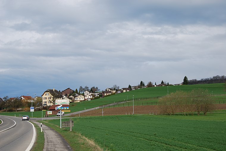
Photo: DidiWeidmann, CC BY-SA 3.0.
Schneisingen is a municipality in the district of Zurzach in the canton of Aargau in Switzerland. Schneisingen is situated 2½ km south of Rohner AG.
Rümikon
Village

Photo: DidiWeidmann, CC BY-SA 3.0.
Rümikon is a village and former municipality in the district of Zurzach in the canton of Aargau in Switzerland. Its late Roman watchtower at the Sandgraben is listed as a heritage site of national significance. Rümikon is situated 2½ km north of Rohner AG.
Rohner AG
- Categories: building and industry
- Location: Siglistorf, Zurzach District, Canton of Aargau, Switzerland, Central Europe, Europe
- View on OpenStreetMap
Latitude
47.54123° or 47° 32′ 28″ northLongitude
8.37517° or 8° 22′ 31″ eastOpen location code
8FVCG9RG+F3OpenStreetMap ID
way 279846667OpenStreetMap feature
building=industrial
This page is based on OpenStreetMap, Wikidata, and Wikimedia Commons.
We’d love your help improving our open data sources. Thank you for contributing.
Satellite Map
Discover Rohner AG from above in high-definition satellite imagery.
Notable Places Nearby
Highlights include Postagentur 5462 Siglistorf and Kirche Siglisdorf.
Nearby Places
Explore places such as Bed & Breakfast and Siglistorf Oberdorf.
Switzerland: Must-Visit Destinations
Delve into Zurich, Berne, Geneva, and Basel.
Curious Industrial Buildings to Discover
Uncover intriguing industrial buildings from every corner of the globe.
About Mapcarta. Data © OpenStreetMap contributors and available under the Open Database License". Text is available under the CC BY-SA 4.0 license, except for photos, directions, and the map. Photo: Simonizer, CC BY-SA 2.0 de.