Steg 4
Steg 4 is a pier in Bavaria, Germany. Access is restricted and requires permission. Steg 4 is situated nearby to Turm, as well as near the pier Steg 3.| Tap on a place to explore it |
Places of Interest Nearby
Highlights include Possenhofen Castle and Empress Elisabeth Museum.
Possenhofen Castle
Castle
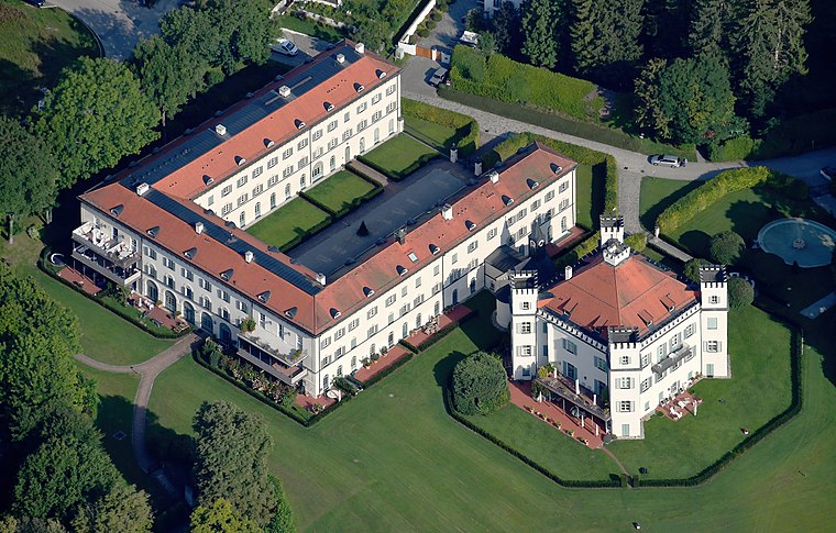
Photo: Carsten Steger, CC BY-SA 4.0.
Possenhofen Castle is a condominium complex and former palace located in Possenhofen on the western shore of Lake Starnberg in Bavaria, Germany. It is best known as being the childhood summer residence of Empress Elisabeth of Austria. Possenhofen Castle is situated 440 metres southwest of Steg 4.
Empress Elisabeth Museum
Museum
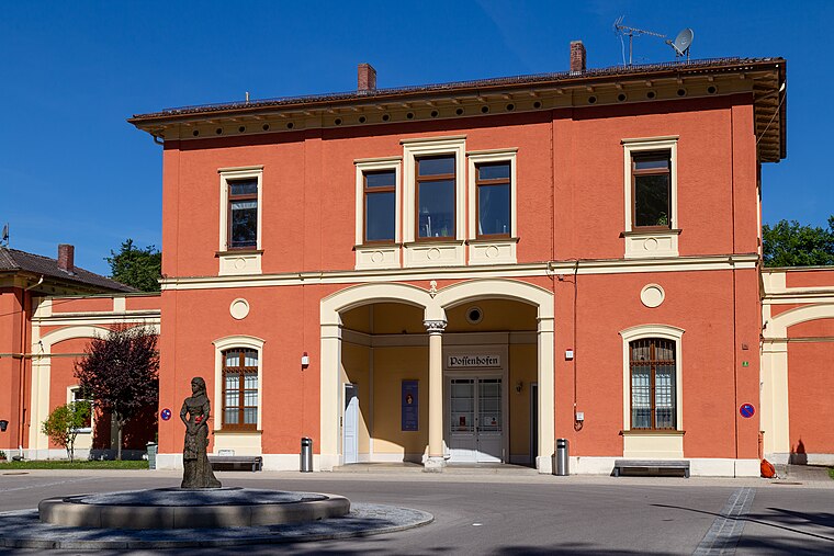
Photo: Stefan Karl, CC BY-SA 4.0.
Empress Elisabeth Museum is situated 1 km west of Steg 4.
Fischerkapelle
Church
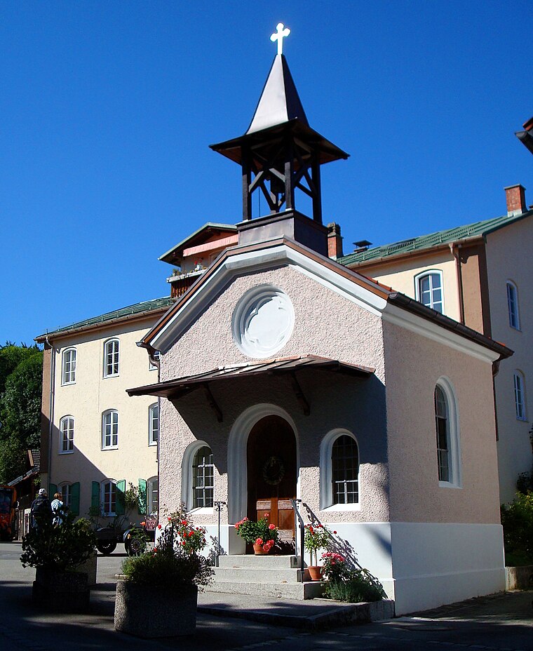
Photo: I. Berger, CC BY-SA 3.0.
Fischerkapelle is a church, which is situated 550 metres west of Steg 4.
Places in the Area
Nearby places include Pöcking and Feldafing.
Pöcking
Village

Photo: Alexander.stohr, CC BY-SA 3.0.
Pöcking is a municipality in the district of Starnberg in Bavaria, Germany. It is best known for being the location of Duchess Elisabeth in Bavaria's childhood summer home, Possenhofen Castle.
Feldafing
Village
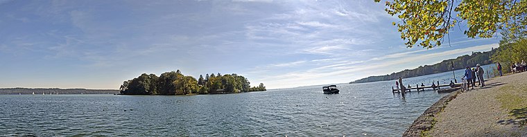
Photo: Guido Radig, CC BY 3.0.
Feldafing is a municipality in Starnberg district, Bavaria, Germany, and is located on the west shore of Lake Starnberg, southwest of Munich. Feldafing is situated 2½ km southwest of Steg 4.
Berg
Village

Photo: Walter Berg, CC BY 3.0.
Berg is a municipality in the district of Starnberg in Bavaria, Germany, on the shore of the Starnberg Lake. It is most famous for the royal Berg Castle. Berg is situated 3 km east of Steg 4.
Steg 4
- Access is restricted and requires permission.
- Type: Pier
- Category: transportation
- Location: Bavaria, Germany, Central Europe, Europe
- View on OpenStreetMap
Latitude
47.96069° or 47° 57′ 39″ northLongitude
11.31781° or 11° 19′ 4″ eastOpen location code
8FVHX869+74OpenStreetMap ID
way 28042480OpenStreetMap feature
man_made=pier
This page is based on OpenStreetMap, Wikidata, and Wikimedia Commons.
We’d love your help improving our open data sources. Thank you for contributing.
Satellite Map
Discover Steg 4 from above in high-definition satellite imagery.
Notable Places Nearby
Highlights include Turm and Steg 3.
Nearby Places
Explore places such as Kiosk Schloßpark and Campingplatz Jugendherberge Possenhofen.
Bavaria: Must-Visit Destinations
Delve into Munich, Nuremberg, Erlangen, and Augsburg.
Curious Piers to Discover
Uncover intriguing piers from every corner of the globe.
About Mapcarta. Data © OpenStreetMap contributors and available under the Open Database License". Text is available under the CC BY-SA 4.0 license, except for photos, directions, and the map. Photo: gravitat-OFF, CC BY 2.0.