Jugendzentrum B6
Jugendzentrum B6 is a community center in Goslar, Southern Lower Saxony, Lower Saxony which is located on Heinrich-Pieper-Straße. Jugendzentrum B6 is situated nearby to the pitch DFB Minispielfeld am B6 Jugendzentrum, as well as near the police station Polizeiinspektion Goslar.| Tap on a place to explore it |
- Type: Community center
- Address: Heinrich-Pieper-Straße 1c, Goslar, 38640
- Roof shape: flat
Places of Interest Nearby
Highlights include Polizeiinspektion Goslar and Christian-von-Dohm-Gymnasium.
Polizeiinspektion Goslar
Police station

Photo: Reise Reise, CC BY-SA 3.0.
Polizeiinspektion Goslar is a police station, which is situated 140 metres west of Jugendzentrum B6.
Christian-von-Dohm-Gymnasium
School

Photo: Reise Reise, CC BY-SA 3.0.
Christian-von-Dohm-Gymnasium is a school, which is situated 420 metres northwest of Jugendzentrum B6.
Goslar station
Railway station
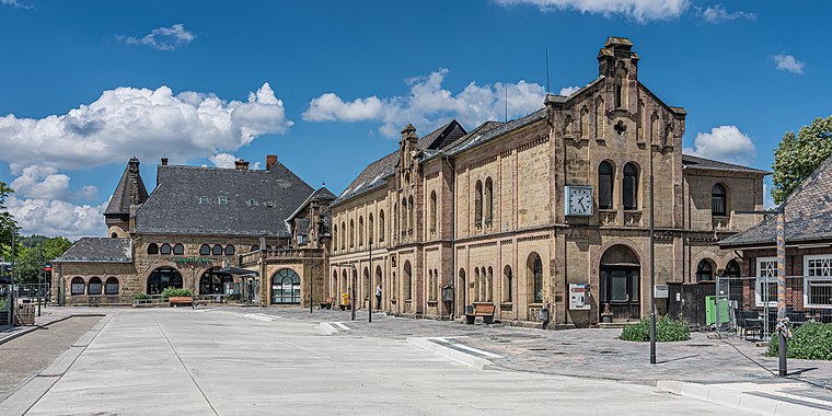 Goslar is a railway station located in Goslar, Germany. The station opened on 23 March 1866 and is located on the Vienenburg–Goslar railway, Hildesheim–Goslar railway and Neuekrug-Hahausen–Goslar railway. Goslar station is situated 1 km southwest of Jugendzentrum B6.
Places in the Area
Nearby places include Baßgeige and Fliegerhorst.


Jugendzentrum B6
- Category: building
- Location: Goslar, Goslar, Southern Lower Saxony, Lower Saxony, Germany, Central Europe, Europe
- View on OpenStreetMap
Latitude
51.91979° or 51° 55′ 11″ northLongitude
10.42863° or 10° 25′ 43″ eastOpen location code
9F3GWC9H+WFOpenStreetMap ID
way 280426735OpenStreetMap feature
amenity=community_centreOpenStreetMap feature
building=yesOpenStreetMap attribute
roof-shape=flat
This page is based on OpenStreetMap, Wikidata, and Wikimedia Commons.
We’d love your help improving our open data sources. Thank you for contributing.
Satellite Map
Discover Jugendzentrum B6 from above in high-definition satellite imagery.
Notable Places Nearby
Highlights include DFB Minispielfeld am B6 Jugendzentrum and Stadtforst Goslar.
Nearby Places
Explore places such as Grundschule Schillerschule and Gaststätte SV Glückauf Rammelsberg.
Southern Lower Saxony: Must-Visit Destinations
Delve into Göttingen, Hamelin, Hann. Münden, and Einbeck.
Curious Community Centers to Discover
Uncover intriguing community centers from every corner of the globe.
About Mapcarta. Data © OpenStreetMap contributors and available under the Open Database License". Text is available under the CC BY-SA 4.0 license, except for photos, directions, and the map. Photo: Wikimedia, CC0.