Serprint
Serprint is an industrial building in Aljubarrota, Alcobaça, Leiria District. Serprint is situated nearby to the church Igreja de Nossa Senhora do Carmo, as well as near the trailhead Aljubarrota: Pelo Vale da Ribeira do Mogo.| Tap on a place to explore it |
Places of Interest Nearby
Highlights include Igreja de Nossa Senhora do Carmo and Parque Verde.
Igreja de Nossa Senhora do Carmo
Church
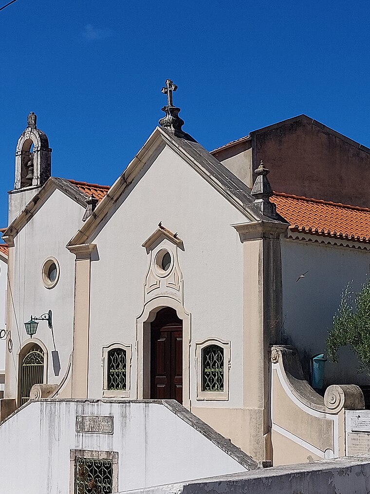
Photo: Threeohsix, CC BY-SA 4.0.
Igreja de Nossa Senhora do Carmo is a church.
Parque Verde
Park

Photo: GualdimG, CC BY-SA 4.0.
Parque Verde is a park, which is situated 2 km northwest of Serprint.
Hospital Bernardino Lopes de Oliveira
Hospital

Photo: Threeohsix, CC BY-SA 4.0.
Hospital Bernardino Lopes de Oliveira is situated 2½ km northwest of Serprint.
Places in the Area
Nearby places include Évora de Alcobaça and Cela.
Évora de Alcobaça
Village
Évora de Alcobaça is a freguesia in the municipality of Alcobaça, Portugal. The population in 2011 was 4,485, in an area of 42.42 km2. Évora de Alcobaça is situated 3½ km southwest of Serprint.
Cela
Town
Cela is a freguesia in the municipality of Alcobaça, Portugal. The population in 2011 was 3,264, in an area of 25.83 km2. It received town status in 1999. Cela is situated 8 km west of Serprint.
Juncal
Town

Photo: Celiaak, CC BY-SA 3.0.
Juncal is a civil parish in the municipality of Porto de Mós, Portugal, with an area of 26,64 km² and population of 3,197. Juncal is situated 8 km northeast of Serprint.
Serprint
- Type: Industrial building
- Categories: building and industry
- Location: Aljubarrota, Alcobaça, Leiria District, Portugal, Iberia, Europe
- View on OpenStreetMap
Latitude
39.53871° or 39° 32′ 19″ northLongitude
-8.94806° or 8° 56′ 53″ westOpen location code
8CFHG3Q2+FQOpenStreetMap ID
way 281816078OpenStreetMap feature
building=industrial
This page is based on OpenStreetMap, Wikidata, and Wikimedia Commons.
We’d love your help improving our open data sources. Thank you for contributing.
Satellite Map
Discover Serprint from above in high-definition satellite imagery.
Notable Places Nearby
Highlights include Aljubarrota: Pelo Vale da Ribeira do Mogo and Poço Suão.
Nearby Places
Explore places such as Maria José and Parque dos Monges.
Portugal: Must-Visit Destinations
Delve into Lisbon, Caldas da Rainha, Porto, and Coimbra.
Curious Industrial Buildings to Discover
Uncover intriguing industrial buildings from every corner of the globe.
About Mapcarta. Data © OpenStreetMap contributors and available under the Open Database License". Text is available under the CC BY-SA 4.0 license, except for photos, directions, and the map. Photo: Luca Boldrini, CC BY 2.0.