J.D. Geck GmbH - Werk Hammer
J.D. Geck GmbH - Werk Hammer is an industrial building in Lüdenscheid, Märkischer Kreis, North Rhine-Westphalia which is located on Rahmedestraße. J.D. Geck GmbH - Werk Hammer is situated nearby to the church Evangelisch-Freikirchliche Gemeinde Grünewiese, as well as near the cave Geßhardthöhle.| Tap on a place to explore it |
Places of Interest Nearby
Highlights include Fuelbecketalsperre and Phänomenta Lüdenscheid.

Phänomenta Lüdenscheid
Museum
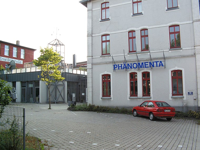
Photo: Silvercork, CC BY-SA 3.0.
Phänomenta Lüdenscheid is a museum, which is situated 4 km south of J.D. Geck GmbH - Werk Hammer.
Lüdenscheid station
Railway stop

Photo: Maerzaries1985, Public domain.
Lüdenscheid station is the terminus of a single-track branch line from Lüdenscheid-Brügge to Lüdenscheid in the German state of North Rhine-Westphalia. Lüdenscheid station is situated 4 km south of J.D. Geck GmbH - Werk Hammer.
Places in the Area
Nearby places include Heedfeld and Kalve.
Heedfeld
Village

Photo: Mich.kramer, CC BY-SA 3.0.
Heedfeld is a village, which is situated 4½ km west of J.D. Geck GmbH - Werk Hammer.
Kalve
Suburb

Photo: Mich.kramer, CC BY-SA 3.0.
Kalve is a suburb, which is situated 4½ km south of J.D. Geck GmbH - Werk Hammer.
Altena
Town

Photo: Asio otus, CC BY-SA 3.0.
Altena is a town in the district of Märkischer Kreis, North Rhine-Westphalia, Germany. The town's castle is the origin for the later Dukes of Berg. Altena is situated on the Lenne river valley, in the northern stretches of the Sauerland. Altena is situated 5 km northeast of J.D. Geck GmbH - Werk Hammer.
J.D. Geck GmbH - Werk Hammer
- Type: Industrial building
- Address: Rahmedestraße 399, Altena, 58762
- Categories: building and industry
- Location: Lüdenscheid, Märkischer Kreis, Arnsberg, South Westphalia, North Rhine-Westphalia, Germany, Central Europe, Europe
- View on OpenStreetMap
Latitude
51.25526° or 51° 15′ 19″ northLongitude
7.64419° or 7° 38′ 39″ eastOpen location code
9F397J4V+4MOpenStreetMap ID
way 282936832OpenStreetMap feature
building=industrial
This page is based on OpenStreetMap, Wikidata, and Wikimedia Commons.
We’d love your help improving our open data sources. Thank you for contributing.
Satellite Map
Discover J.D. Geck GmbH - Werk Hammer from above in high-definition satellite imagery.
Notable Places Nearby
Highlights include Evangelisch-Freikirchliche Gemeinde Grünewiese and Geßhardthöhle.
Nearby Places
Explore places such as Innenhof and J.D. Geck GmbH Langenfeld.
South Westphalia: Must-Visit Destinations
Delve into Siegen, Iserlohn, Soest, and Schmallenberg.
Curious Industrial Buildings to Discover
Uncover intriguing industrial buildings from every corner of the globe.
About Mapcarta. Data © OpenStreetMap contributors and available under the Open Database License". Text is available under the CC BY-SA 4.0 license, except for photos, directions, and the map. Photo: Wikimedia, CC0.