Hingsham b.Rainbach Bundesstraße
Hingsham b.Rainbach Bundesstraße is a shelter in Rainbach im Innkreis, Schärding District, Upper Austria. Hingsham b.Rainbach Bundesstraße is situated nearby to the forest Sallinger Holz, as well as near the peak Hochbuch.| Tap on a place to explore it |
Places of Interest Nearby
Highlights include FF Rainbach and Pfarrkirche Mariä Himmelfahrt.
FF Rainbach
Fire station
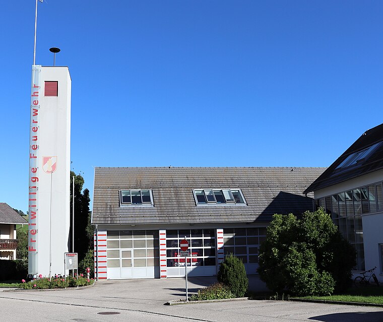
Photo: Samiclaus, CC BY-SA 4.0.
FF Rainbach is a fire station, which is situated 2 km south of Hingsham b.Rainbach Bundesstraße.
Pfarrkirche Mariä Himmelfahrt
Church

Photo: Konrad Lackerbeck, CC BY 3.0.
Pfarrkirche Mariä Himmelfahrt is a church, which is situated 3 km east of Hingsham b.Rainbach Bundesstraße.
Places in the Area
Nearby places include Neuburg am Inn and Vornbach.
Neuburg am Inn
Village

Photo: Konrad Lackerbeck, CC BY 3.0.
Neuburg am Inn is a municipality in the district of Passau in Bavaria in Germany. Neuburg lies high above the river Inn, which forms the natural border with Austria. Neuburg am Inn is situated 7 km northwest of Hingsham b.Rainbach Bundesstraße.
Vornbach
Village

Photo: Aconcagua, CC BY-SA 3.0.
Vornbach is a village, which is situated 7 km west of Hingsham b.Rainbach Bundesstraße.
Sankt Florian am Inn
Village

Photo: Konrad Lackerbeck, CC BY 3.0.
Sankt Florian am Inn is a municipality in the district of Schärding in the Austrian state of Upper Austria. Sankt Florian am Inn is situated 7 km southwest of Hingsham b.Rainbach Bundesstraße.
Hingsham b.Rainbach Bundesstraße
- Type: Shelter
- Category: building
- Location: Rainbach im Innkreis, Schärding District, Upper Austria, Austria, Central Europe, Europe
- View on OpenStreetMap
Latitude
48.4757° or 48° 28′ 33″ northLongitude
13.53007° or 13° 31′ 48″ eastOpen location code
8FWMFGGJ+72OpenStreetMap ID
way 283358689OpenStreetMap feature
amenity=shelterOpenStreetMap feature
building=yes
This page is based on OpenStreetMap, Wikidata, and Wikimedia Commons.
We’d love your help improving our open data sources. Thank you for contributing.
Satellite Map
Discover Hingsham b.Rainbach Bundesstraße from above in high-definition satellite imagery.
Notable Places Nearby
Highlights include Sallinger Holz and Backofenstein.
Nearby Places
Explore places such as Hingsham b.Rainbach Bundesstraße and Hingsham b.Rainbach Bundesstraße.
Upper Austria: Must-Visit Destinations
Delve into Linz, Hallstatt, Wels, and Steyr.
Curious Shelters to Discover
Uncover intriguing shelters from every corner of the globe.
About Mapcarta. Data © OpenStreetMap contributors and available under the Open Database License". Text is available under the CC BY-SA 4.0 license, except for photos, directions, and the map. Photo: Traveler100, CC BY-SA 3.0.