Grünanlage Hertha-Feiner-Asmus-Stieg
Grünanlage Hertha-Feiner-Asmus-Stieg is a pier in Hamburg, Hamburg. Grünanlage Hertha-Feiner-Asmus-Stieg is situated nearby to the bridge Heinz-Gärtner-Brücke, as well as near the square Jarreplatz.| Tap on a place to explore it |
Places of Interest Nearby
Highlights include Kampnagel and Johannes-Prassek-Park.
Kampnagel
Theater building
Kampnagel is a theatre in Hamburg, Germany. It is Germany's biggest independent production venue for the performing arts. It is based on the premises of a former mechanical engineering factory in Winterhude, founded in 1865. Kampnagel is situated 180 metres west of Grünanlage Hertha-Feiner-Asmus-Stieg.
Johannes-Prassek-Park
Park
 Johannes-Prassek-Park is situated 160 metres southeast of Grünanlage Hertha-Feiner-Asmus-Stieg.
Alabama Kino
Movie theater

Photo: Asvensson, CC BY-SA 4.0.
Alabama Kino is a movie theater, which is situated 250 metres west of Grünanlage Hertha-Feiner-Asmus-Stieg.
Places in the Area
Nearby places include Jarrestadt and Barmbek-Süd.

Barmbek-Süd
Suburb
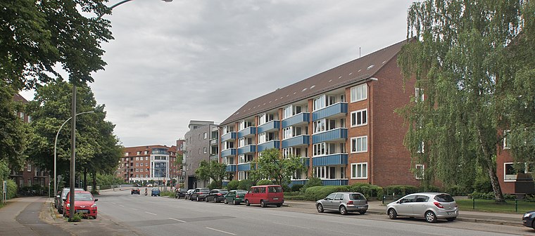
Photo: flamenc, CC BY-SA 3.0.
Barmbek-Süd is a quarter of Hamburg, Germany, in the borough of Hamburg-Nord. It is located in the east of Hamburg-Nord, approximately five kilometers from Hamburg city center.
North Hamburg
Northern Hamburg includes the lake of Aussenalster, the city's airport and a lot of greenery in-between.Grünanlage Hertha-Feiner-Asmus-Stieg
- Type: Pier
- Category: transportation
- Location: Hamburg, Hamburg, Freie und Hansestadt, Hamburg, Germany, Central Europe, Europe
- View on OpenStreetMap
Latitude
53.58339° or 53° 35′ 0″ northLongitude
10.02445° or 10° 1′ 28″ eastOpen location code
9F5GH2MF+9QOpenStreetMap ID
way 283852045OpenStreetMap feature
man_made=pier
This page is based on OpenStreetMap, Wikidata, and Wikimedia Commons.
We’d love your help improving our open data sources. Thank you for contributing.
Satellite Map
Discover Grünanlage Hertha-Feiner-Asmus-Stieg from above in high-definition satellite imagery.
Notable Places Nearby
Highlights include Heinz-Gärtner-Brücke and Jarreplatz.
Nearby Places
Explore places such as Orange Cube Werbeagentur and KX..
Hamburg: Must-Visit Destinations
Delve into Altona-St. Pauli, Neustadt-Altstadt, East Hamburg, and North Hamburg.
Curious Piers to Discover
Uncover intriguing piers from every corner of the globe.
About Mapcarta. Data © OpenStreetMap contributors and available under the Open Database License". Text is available under the CC BY-SA 4.0 license, except for photos, directions, and the map. Photo: Joerg Moellenkamp, CC BY 2.0.