Saire
Saire is in Port-sur-Saône, Arrondissement of Vesoul, Bourgogne-Franche-Comté. Saire is situated nearby to the island Île du Moulin.| Tap on a place to explore it |
Places of Interest Nearby
Highlights include Île du Moulin and Église Saint-Étienne de Port-sur-Saône.

Église Saint-Étienne de Port-sur-Saône
Church
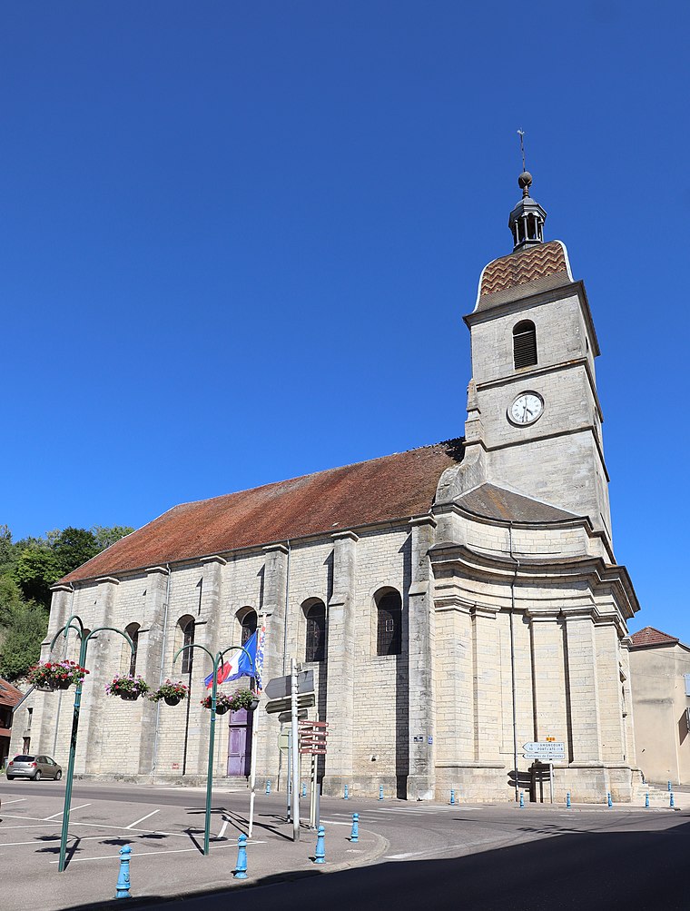
Photo: Jean de l’Auxois, CC BY-SA 4.0.
Église Saint-Étienne de Port-sur-Saône is a church, which is situated 2 km northeast of Saire.
Chapelle Saint-Valère de Port-sur-Saône
Church

Photo: Nério9, CC BY-SA 3.0.
Chapelle Saint-Valère de Port-sur-Saône is a church, which is situated 1½ km northeast of Saire.
Saire
Latitude
47.67942° or 47° 40′ 46″ northLongitude
6.02435° or 6° 1′ 28″ eastOpen location code
8FV8M2HF+QPOpenStreetMap ID
way 286295844OpenStreetMap feature
landuse=industrial
This page is based on OpenStreetMap, Wikidata, and Wikimedia Commons.
We’d love your help improving our open data sources. Thank you for contributing.
Satellite Map
Discover Saire from above in high-definition satellite imagery.
Places with the Same Name
Discover other places named “Saire”.
Notable Places Nearby
Highlights include Franche Comte Nautic and Port de la Maladière.
Nearby Places
Explore places such as Camping La Maladière and Bar Restaurant Le Chalet de la Plage.
Bourgogne-Franche-Comté: Must-Visit Destinations
Delve into Nièvre, Dijon, Besançon, and Vesoul.
Curious Places to Discover
Uncover intriguing places from every corner of the globe.
About Mapcarta. Data © OpenStreetMap contributors and available under the Open Database License". Text is available under the CC BY-SA 4.0 license, except for photos, directions, and the map. Photo: ComputerHotline, CC BY 3.0.