BP
BP is a gas station in Cobb, Georgia which is located on Veterans Memorial Highway Southeast. BP is situated nearby to Leland Methodist Church, as well as near the reservoir Summerlin Lake.| Tap on a place to explore it |
Places of Interest Nearby
Highlights include St. Francis de Sales Catholic Church and Pebblebrook High School.
St. Francis de Sales Catholic Church
Church
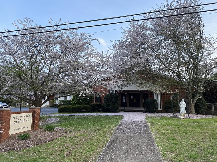
Photo: Nwg02, CC BY-SA 4.0.
St. Francis de Sales Catholic Church, located in Mableton, Georgia, is the home of the Priestly Fraternity of St. Peter in the Roman Catholic Archdiocese of Atlanta. St. Francis de Sales Catholic Church is situated 1¼ miles northwest of BP.
Pebblebrook High School
School
Pebblebrook High School is a high school in the Cobb County School District in Mableton, Georgia, United States. The school opened in 1963, serving grades 9-12. Pebblebrook High School is situated 1½ miles west of BP.
Places in the Area
Nearby places include Mableton and Austell.
Mableton
Town
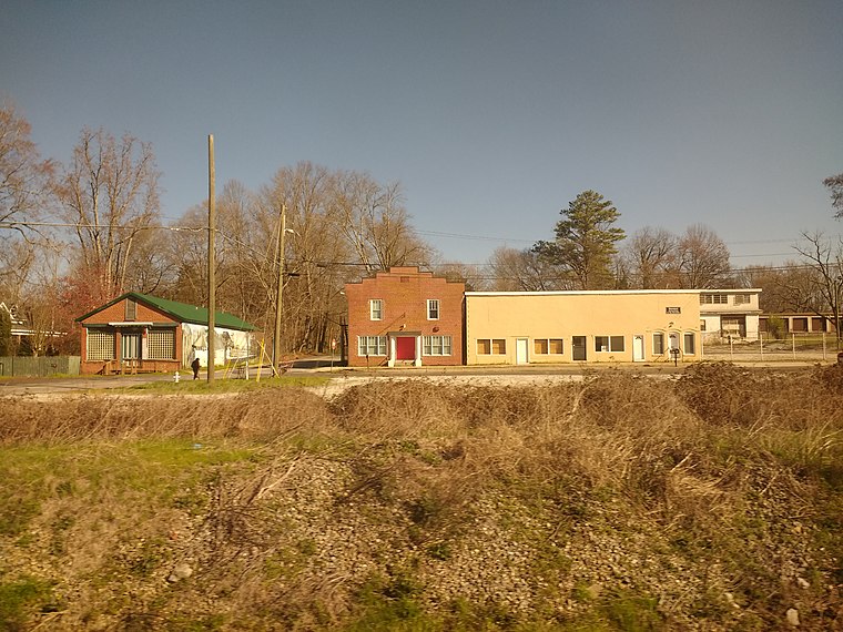
Photo: Mx. Granger, CC0.
Mableton is a city in Cobb County, Georgia, United States. Voters of the unincorporated area of Mableton approved a referendum to incorporate on November 8, 2022, and six council members were elected on March 21, 2023, with Michael Owens elected as mayor of Mableton in the 2023 Mableton mayoral election.
Austell
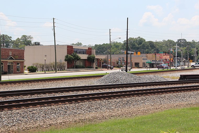
Photo: Thomson200, CC0.
Austell is a city in Cobb County in the U.S. state of Georgia. It is part of the Atlanta metropolitan area. As of the 2020 census, the city had a population of 7,713.
Adamsville
Quarter
Adamsville is a predominantly African-American neighborhood on the west side of city Atlanta, Georgia. It is located where Interstate 20 and Interstate 285 meet on the west side. Adamsville is situated 5 miles southeast of BP.
BP
- Type: Gas station
- Address: 155 Veterans Memorial Highway Southeast, Mableon, GA 30126
- Categories: building, retail building, and transportation
- Location: Cobb, Georgia, South, United States, North America
- View on OpenStreetMap
Latitude
33.81207° or 33° 48′ 43″ northLongitude
-84.5596° or 84° 33′ 35″ westBrand
BPOpen location code
865QRC6R+R5OpenStreetMap ID
way 287419125OpenStreetMap feature
amenity=fuelOpenStreetMap feature
building=retail
This page is based on OpenStreetMap, Wikidata, and Wikimedia Commons.
We’d love your help improving our open data sources. Thank you for contributing.
Satellite Map
Discover BP from above in high-definition satellite imagery.
Notable Places Nearby
Highlights include Leland Methodist Church and Fleming Cemetery.
Nearby Places
Explore places such as Sabores and Harmony-Leland School.
Georgia: Must-Visit Destinations
Delve into Atlanta, Savannah, Augusta, and Hartsfield–Jackson Atlanta International Airport.
Curious Gas Stations to Discover
Uncover intriguing gas stations from every corner of the globe.
About Mapcarta. Data © OpenStreetMap contributors and available under the Open Database License". Text is available under the CC BY-SA 4.0 license, except for photos, directions, and the map. Photo: Wikimedia, CC0.