Florian-Geyer-Platz
Florian-Geyer-Platz is a park in Halle (Saale), Halle, Saxony-Anhalt. Florian-Geyer-Platz is situated nearby to the church St. Katharinen, as well as near the guest house Pension Ammendorf.| Tap on a place to explore it |
Places of Interest Nearby
Highlights include St. Katharinen and Halle-Ammendorf railway station.
St. Katharinen
Church

Photo: Milenavaleska, CC0.
St. Katharinen is a church, which is situated 130 metres south of Florian-Geyer-Platz.
Halle-Ammendorf railway station
Railway station

Photo: Falk2, CC BY-SA 4.0.
Halle-Ammendorf railway station is situated 410 metres southeast of Florian-Geyer-Platz.
Surp Harutyun church
Church
 Surp Harutyun church is situated 500 metres southeast of Florian-Geyer-Platz.
Places in the Area
Nearby places include Ammendorf/Beesen and Döllnitz.
Ammendorf/Beesen
Suburb
Ammendorf/Beesen is a suburb to the south of the city of Halle, Saxony-Anhalt, Germany. It consists of the formerly independent villages of Ammendorf and Beesen.
Döllnitz
Village

Photo: Jwaller, CC BY-SA 3.0.
Döllnitz is a village, which is situated 3½ km southeast of Florian-Geyer-Platz.
Schkopau
Town
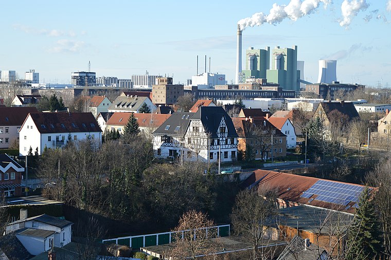
Photo: Olaf2, CC BY-SA 4.0.
Schkopau is a municipality in the Saalekreis district, in Saxony-Anhalt, Germany. Schkopau is situated 4 km south of Florian-Geyer-Platz.
Florian-Geyer-Platz
- Type: Park
- Category: recreation area
- Location: Halle (Saale), Halle, Saxony-Anhalt, Germany, Central Europe, Europe
- View on OpenStreetMap
Latitude
51.42688° or 51° 25′ 37″ northLongitude
11.98382° or 11° 59′ 2″ eastNamed after
Florian GeyerOpen location code
9F3HCXGM+QGOpenStreetMap ID
way 28742521OpenStreetMap feature
leisure=park
This page is based on OpenStreetMap, Wikidata, and Wikimedia Commons.
We’d love your help improving our open data sources. Thank you for contributing.
Satellite Map
Discover Florian-Geyer-Platz from above in high-definition satellite imagery.
Notable Places Nearby
Highlights include Pension Ammendorf and Freiwillige Feuerwehr Ammendorf.
Nearby Places
Explore places such as Cafe und Bistro and Florian-Geyer-Platz.
Saxony-Anhalt: Must-Visit Destinations
Delve into Magdeburg, Wittenberg, Quedlinburg, and Eisleben.
Curious Parks to Discover
Uncover intriguing parks from every corner of the globe.
About Mapcarta. Data © OpenStreetMap contributors and available under the Open Database License". Text is available under the CC BY-SA 4.0 license, except for photos, directions, and the map. Photo: GMM, Public domain.