Derioko Osasun Zentroa
Derioko Osasun Zentroa is a clinic in Derio, Biscay, Basque Country which is located on Gorbea kalea. Derioko Osasun Zentroa is situated nearby to Pakearen plaza, as well as near the town hall Ayuntamiento de Derio.| Tap on a place to explore it |
- Opening hours: Monday—Friday 8:00 AM—8:00 PM
- Email: derio.aaccorreo@osakidetza.eus
- Type: Clinic
- Address: Gorbea kalea 1, DERIO, 48160
Places of Interest Nearby
Highlights include Cementerio de Bilbao and Lycée Français de Bilbao.
Cementerio de Bilbao
Cemetery

Photo: Beninho, CC BY-SA 4.0.
Cementerio de Bilbao is a cemetery, which is situated 320 metres northwest of Derioko Osasun Zentroa.
Lycée Français de Bilbao
School

Photo: Lyceefrancaisbilbao, CC BY-SA 4.0.
Lycée Français de Bilbao is a French international school in Zamudio, Biscay, Spain, in the Bilbao metropolitan area. It serves toute petite section through terminale. It opened in 1933 as the Ecoles Françaises de Bilbao/Escuelas Francesas de Bilbao. Lycée Français de Bilbao is situated 1¼ km southwest of Derioko Osasun Zentroa.
Church of San Martín de Arteaga, Zamudio
Church
 Church of San Martín de Arteaga, Zamudio is situated 2 km southeast of Derioko Osasun Zentroa.
Places in the Area
Nearby places include Zamudio and Sondika.
Zamudio
Village

Photo: Wikimedia, Public domain.
Zamudio is a town and municipality located in the province of Biscay, in the Autonomous Community of Basque Country, northern Spain. Lycée Français de Bilbao, the French international school of the Bilbao metropolitan area, is in Zamudio.
Sondika
Village
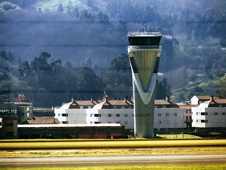
Photo: Andres Rueda, CC BY 2.0.
Sondika is a town and municipality located in the province of Biscay, in the Autonomous Community of Basque Country, northern Spain. Situated directly south of the runway of Bilbao Airport, it is the location of Bilbao British Cemetery, containing a Commonwealth War Graves Cemetery with 58 casualties. Sondika is situated 3 km west of Derioko Osasun Zentroa.
Ocharcoaga
Quarter
 Ocharcoaga is a quarter, which is situated 3½ km south of Derioko Osasun Zentroa.
Derioko Osasun Zentroa
- Categories: health care, building, and residential building
- Location: Derio, Biscay, Basque Country, Northern Spain, Spain, Iberia, Europe
- View on OpenStreetMap
Latitude
43.29212° or 43° 17′ 32″ northLongitude
-2.88818° or 2° 53′ 17″ westOperator
OsakidetzaNetwork
Uribeko ESIOpen location code
8CMV74R6+RPOpenStreetMap ID
way 287787783OpenStreetMap feature
amenity=clinicOpenStreetMap feature
building=residentialOpenStreetMap feature
healthcare=clinic
This page is based on OpenStreetMap, Wikidata, and Wikimedia Commons.
We’d love your help improving our open data sources. Thank you for contributing.
Satellite Map
Discover Derioko Osasun Zentroa from above in high-definition satellite imagery.
In Other Languages
From Basque to Spanish—“Derioko Osasun Zentroa” goes by many names.
- Basque: “Derioko Osasun Zentroa”
- Spanish: “Centro de Salud de Derio”
Notable Places Nearby
Highlights include Pakearen plaza and Ayuntamiento de Derio.
Nearby Places
Explore places such as Derioko Osasun Mentaleko Zentroa and Mungialde Etorbidea 4.
Basque Country: Must-Visit Destinations
Delve into Bilbao, San Sebastián, Vitoria-Gasteiz, and Guernica.
Curious Clinics to Discover
Uncover intriguing clinics from every corner of the globe.
About Mapcarta. Data © OpenStreetMap contributors and available under the Open Database License". Text is available under the CC BY-SA 4.0 license, except for photos, directions, and the map. Photo: Ander Abadia Zallo, CC BY 4.0.